Considering Steven and I had just spent the last two days driving the phenomenal Blue Ridge Parkway from the midpoint to the southern terminus, it was amusing seeing the parkway entrance sign for visitors going northbound outside the town of Cherokee, North Carolina! We looked without success for the last marker on the Parkway just as we did the night before - drat.

We hadn't been lucky enough to see any elk on the Parkway so were thrilled to spot this one grazing nearby by the entrance to Great Smoky Mountains National Park. The 520,000-acre park, divided between North Carolina and Tennessee, received its name from the Cherokee people who described these mountains as shaconage which meant the "blue, like smoke" haze that hangs over the mountains.

In the background were some very atmospheric shots of the haze playing hide and seek with the mountains!


After visiting the park's visitor center, we walked around the Mingus Mill, an elaborate and still-working 1886 turbine mill.


The National Park Service bought the mill from the Mingus family in the 1930s. A small steel turbine provided power to operate the mill's stones and machinery in place of a wooden water wheel. The mill still operates as an historical exhibit during the summer. When I commented to the guide inside the mill how dark it was, he replied that he'd been looking for lights there since 1866!


For nearly half a century, nearby farmers brought their corn and wheat to the mill which charged them a toll normally one-eighth of the amount of grain brought for milling. The gristmill's stone was turned by a water-powered, cast-iron turbine


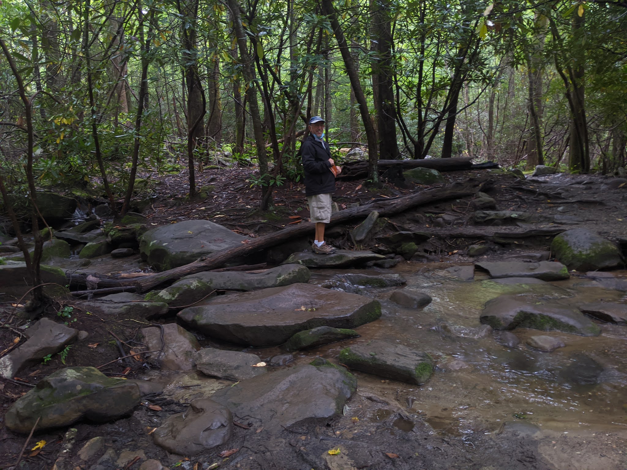
The water adjacent to the Mingus Creek Trail was running very fast that September day.


A flume channel carried water directly to the mill.


Steven and I were relieved the center part of the trail had been raised up to allow for the water to collect on either side only.


Since the park receives so much rain, there were many vibrant shades of green everywhere we looked.


Although we knew it was raining, there was so much tree canopy it was like we were under a giant umbrella the whole hike!

It was marvelous making a return visit to the national park as few places in the country have such a variety of vegetation. The mountains catch the region's copious rainfall, resulting in a variety of plant and animal species, including more tree species than northern Europe, 1,500 flowering plants, dozens of native fish, and over 260 birds and mammals. This remarkable biological diversity and the cultures humans have used from its abundance has led to the park being designated an International Biosphere Reserve and a World Heritage Site!


Lumber companies owned 85 percent of the land that became the national park and actually logged 65 percent of it. So alarmed was Congress at the commercial threats to the forests, it authorized the park in 1926 which was among the first to be assembled from private lands.


Loggers, some with families, often lived in portable housing known as "set-off houses."

Though the Great Smoky Mountains were ancient, much of the forest was young or never cut. As much as 80 percent of the forests had been cleared by loggers and farmers by the time the park was established. Farmers had cut many old-growth forests, clearing fields for pastures and cropland. The Great Smokies' old-growth forests were home to several record specimens as the size of some tree species wasn't exceeded elsewhere. But while some trees were huge, old-growth didn't necessarily result in big trees as harsh conditions on ridge tops meant 500-year-old trees might just be six inches in diameter.


Rugel's Ragwort was one plant found nowhere else on earth. After being cut off from its northern relatives during the continent's glacial advances 15,000-10,000 years ago, it now lives exclusively in spruce-fir forests.


I read that plants and animals on the Spruce Fir Trail needed to survive in harsh, high-country conditions. At this elevation, rain and snow are heavy, winds can be biting, and temperatures are often frigid. How sad to learn that a non-native insect is decimating the Fraser fir, a primary component of this forest. That will result in impacts felt by the entire forest community.

Walking the trail was great practice to improve our tightrope walking skills!


Steven and I joked that couldn't the National Park Service have sprung for two more boards along the trail to make it a tad wider!


Lettuce anyone?!

We'd initially planned to continue driving another five miles along the park's scenic highway to Clingman's Dome but the weather was just too miserable so we turned back toward Newfound Gap. We figured there wouldn't have been a thing to view from atop the dome with the reported zero visibility.

Great Smoky Mountains National Park was a grand experiment as never before had a national park been created by purchasing private lands. In the 1920s and 1930s, however, the states of North Carolina and Tennessee plus the support of thousands of people across the country purchased 6,000 tracts of land and then transferred them to the federal government.


A plaque installed in 1984 stated, "In commemoration of 50 years of excellence in conservation, restoration, and enjoyment."

At Newfound Gap, we hiked an almost laughably short distance of the Appalachian Trail or AT, one of the longest continuous footpaths in the world. The AT winds its way more than 2,150 miles in 14 states from Maine to Georgia. Hikers report that few stretches are more remote or difficult than the section through the Great Smokies because the trail follows some of the highest ridges in the mountains.

As we walked along the AT for a bit, we happened to chat with two fellows who were just returning from hiking 30 miles of the trail and it had taken them four days.


We looked pretty happy last September considering how miserable the weather was!

We passed some lovely falls and streams as we then headed north through the park toward Gatlinburg, Tennessee.


As there was essentially no view to speak of at the Carlos Campbell Overlook, we trudged on and found some quite marvelous views of huge ferns a short distance ahead.


Even though it was still only late September, the city of Gatlinburg was definitely all ready for Halloween! I know we'd driven a long way cross country from Colorado to Illinois, then south to Florida, and up through North Carolina during the height of the pandemic last year but I was still amazed at the gobs of people in downtown Gatlinburg. With the absence of masks and many people not practicing social distancing, it was quite uncomfortable being anywhere close to such crowds.


Being able to escape far from the madding crowd seemed essential. We hightailed it to the Noah 'Bud' Ogle Place, also in the park, so we could go on another self-guided nature trail. The first settlers changed the mountains with axes, plows, and guns, cutting into forests that were centuries old. They called this area Junglebrook for the dense growths of rhododendron and magnolia trees that bordered the streams. This was Ogle's farm from 1883 until 1925 but it looked as if the first might be reclaiming it now!


As their family expanded, the house was added on with a chimney set in the middle so both halves would be kept warm!


Chestnut blight in the 1930s killed these trees.

Reading the signs: The Ogles would have known the temperature by looking at the rhododendrons - as it drops to freezing, the leaves begin to darken in color and droop. Around 20 degrees Fahrenheit, they start to curl, and at 0 degrees, they start to roll up tight and turn inwards toward the stem. This may all seem like some useless bit of trivia until one realizes that it was only by listening to Mother Nature's cues the Ogles and others had health and food. Disregard for the elements would mean hunger and misery.


Getting by with less: Nothing went to waste for people of an earlier age. When a piece of land was too rocky to be cultivated but not rough enough to remain a forest, it might be used as a pasture. The family derived dairy products from very marginal land as survival depended on each kind of ground for its maximum potential. Even the rocks didn't go to waste. They would have been used as stone walls to keep cows in place. The key was turning nuisance materials like the rocks into something useful.

Leaving the nest: As children married, they moved out of the home. This pile of rocks further along the trail was what remained of the 'honeymoon' or 'weaner' cabin where newlyweds were permitted to live for one year until they established their own abode. It sure was hardly The Ritz, was it!


Unusual for this era and place, the Ogle family had running water but it wasn't through metal pipes. Wood, the handy and accessible product, was made into a wooden trough that carried water from the spring all the way to the house. There it got dumped into a double wooden sink that had been hewn from a large log.


Living with all of our 'mod cons' made me realize how extraordinarily lucky we are. Life couldn't have been easy for the Ogles a hundred years ago as they eked out an existence.


We retraced our steps through Gatlinburg hoping to go to the Arrowmount School of Craft and Design, a gallery that used to showcase some top-notch items from all over the Appalachian region. I was pretty disappointed it was closed until Steven said he thought he could find a shop we had lucked out first discovering about 25 years ago called Whaley's Handcrafts. It and many other small shops were located outside of town in a thriving arts community. We had been back to Whaley's twice since our initial discovery and had also ordered a custom table runner and I was thrilled to return one more time.

Over time we'd purchased well more than a dozen mini wooden vases with intricately carved wooden flowers, wooden bowls, and some beautiful, hand-woven textiles all made by Randy Whaley, his 85-year-old father, his son, Scott, and also his cousin. The last thing I needed was any more placemats and another table runner but I happily bought them anyway for old times' sake. The shop had no curb appeal but its exterior belied the superb quality of each of their handiwork.

It was a long and pretty harrowing drive in the mist back through the park to Cherokee in North Carolina where we'd set out from early that morning.

Steven, God love him, found the last milepost on the Blue Ridge Parkway that we'd tried to locate twice the preceding day to no avail! He is incredibly persistent and vowed not to give up without finding Milepost 469 - I was so happy to capture the photo. In just a week or so, Steven and I will be starting to drive the Blue Ridge Parkway again but this time from the northern starting point. I am so curious to see how it will compare with all that we experienced on the southern stretch last September.

Posted on July 13th, 2021, from Annapolis, Maryland, on the east coast as we ever so slowly wend our way from Denver toward the Gulf states of Alabama and Florida for some beach time.
No comments:
Post a Comment