
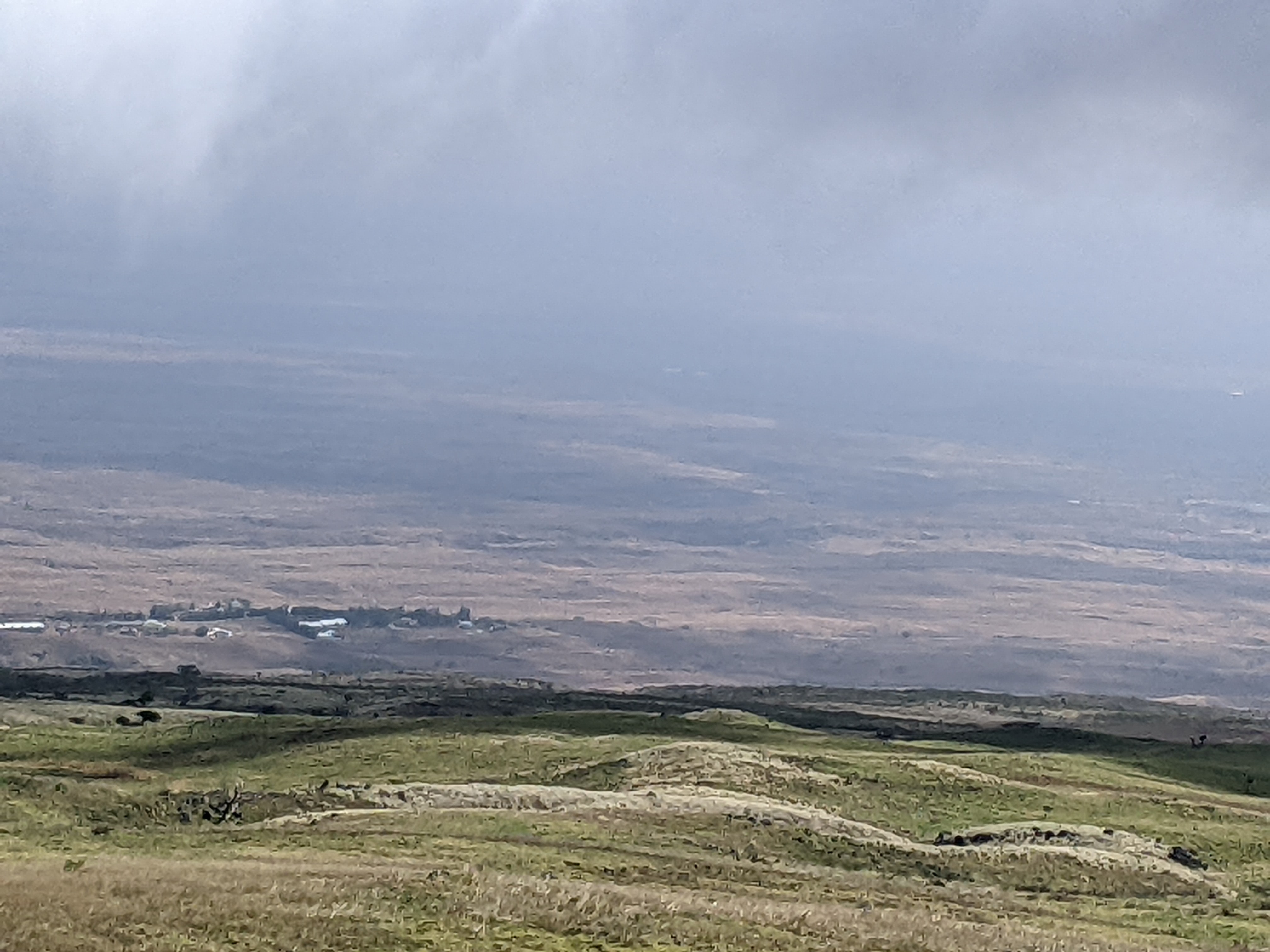
As Steven and I drove north some 30 miles from Kailua-Kona on the Big Island of Hawaii, we passed through some of the most barren topography imaginable to reach the Waikoloa Petroglyph Field. If you equate the island with white sand beaches and jungle mountains as we'd seen on its east coast, these images of the severe North Kona Coast and its black-and-rust lava fields will come as a shock as they did to us as that was all we saw for the entire distance.

I wish I had been able to catch a shot of the Donkey Crossing sign before we whizzed by as that would have been my first such photo!

It seemed absolutely incongruous that such a major petroglyph find was mere feet from a mini shopping center and a golf course.

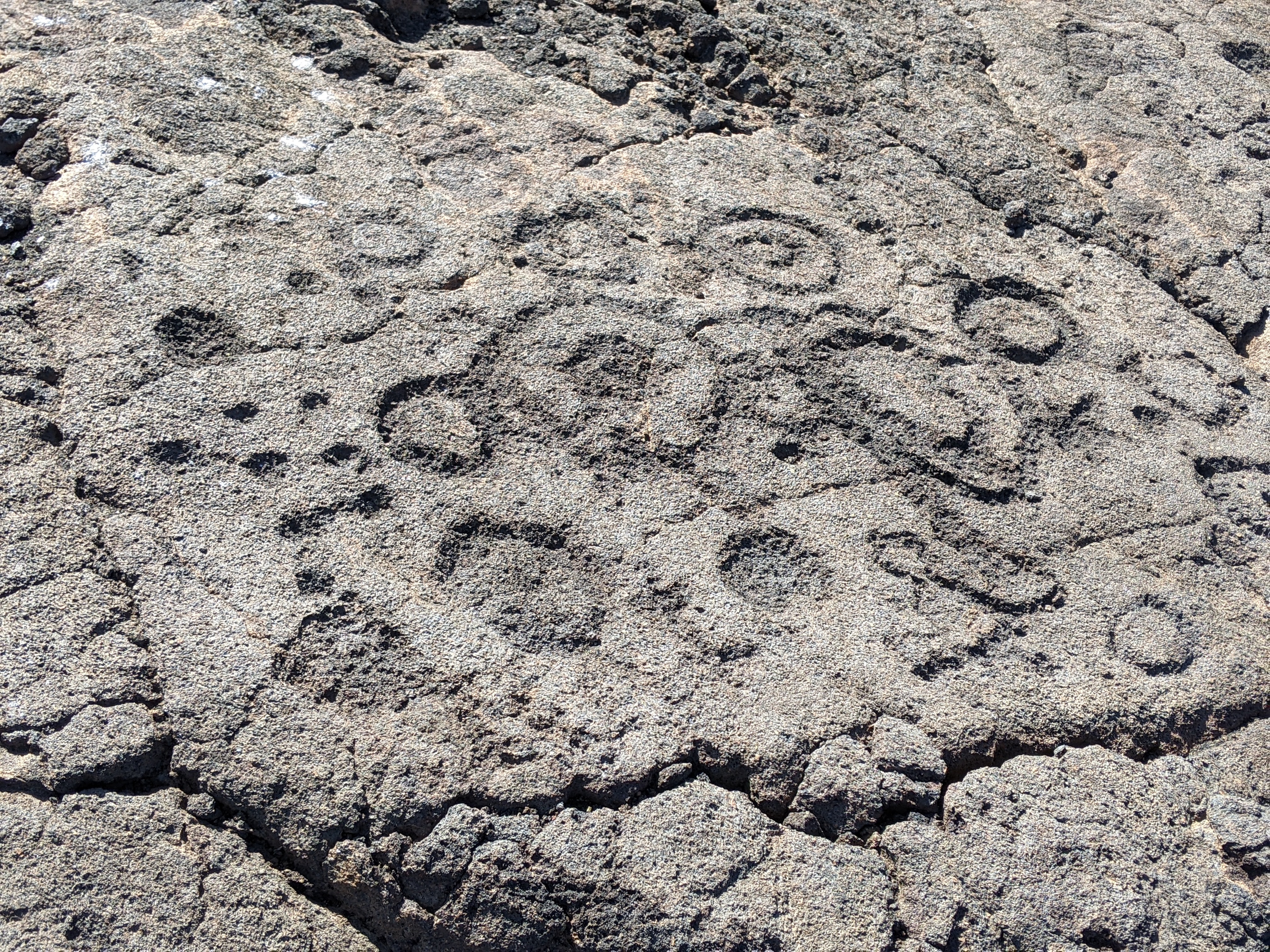
The Waikoloa Petroglyph Field contained one of the major concentrations of petroglyphs in the entire Hawaiian islands. Thousands of petroglyph images were located just north of the border between the ancient kingdoms of Kohala and Kona.

Most petroglyphs were made with a sharp stone held as a chisel and struck with a hammerstone, a process that was known as indirect percussion. Other petroglyphs were made by rubbing or pounding a stone against the glazed surface of the lava to reveal the granular interior.

Steven and I had learned the day before about the ancient Hawaiian system of kapu which dictated every segment of a commoner's life in ancient Hawaii. I thought it mildly amusing that, not for the first time, signs indicated it was kapu to damage anything in the petroglyph field and everyone must stay on the paths and "within the designated viewing areas." That all sounded well and good except that there were very few discernible paths or designated areas, unlike other petroglyph fields we'd viewed elsewhere in the state.


I certainly never had a clue that once the written language was introduced in the 1820s, the Hawaiian Kingdom quickly became one of the most literate societies in the world. Dates and images of sailing ships and horses and Hawaiian names written in the Latin alphabet reflected an era of major change in Hawaii.


Even scientists are left to speculate about the petroglyphs' real meaning. They may have commemorated events, held ceremonial meaning, or identified social or family lineages. Some speculate that visitors may have come across an ancestor's signature and added their own mark. It is also thought that they may have carved petroglyphs as an account of their visit.


We found that it was impossible not to walk on the petroglyphs as there was no boardwalk or path separating people from the carvings - how sad was that.


With the 1862 date inscribed on the stone, this was obviously one of the newer petroglyphs.


Some of the rock shelters or rock walls at the field wee in a "C" shape with the opening away from the prevailing northeast trade wind.

It felt wildly inappropriate to us walking on the ancient carvings but all too often there was no other option as there was normally no path or any additional signage barring trespass through the field of petroglyphs.


What a tremendous honor it had been to walk where the ancient Hawaiians had left their history for everyone to admire all these years later.


After the austere lava fields, we drove to the Puako Tide Pools which were deep enough to shelter live coral and other marine life. The absence of a sandy beach and the rocky terrain didn't entice us to swim but the giant tide pools were interesting.


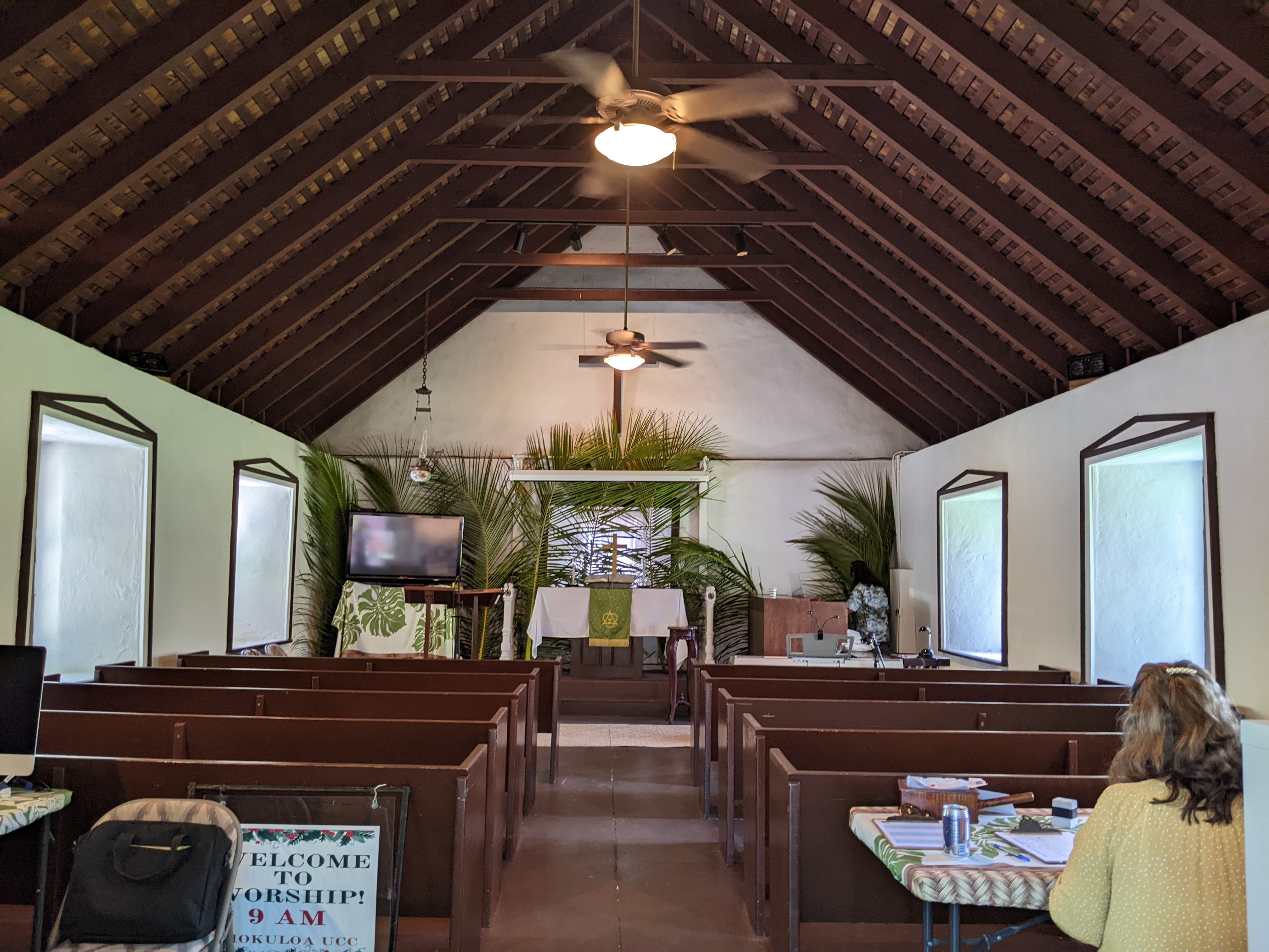
Near the tide pools was the Hokuloa United Church of Christ which was described as "maybe the cutest little white seaside church on the Big Island." Founded in 1856, the building fell apart before being restored in 1990.


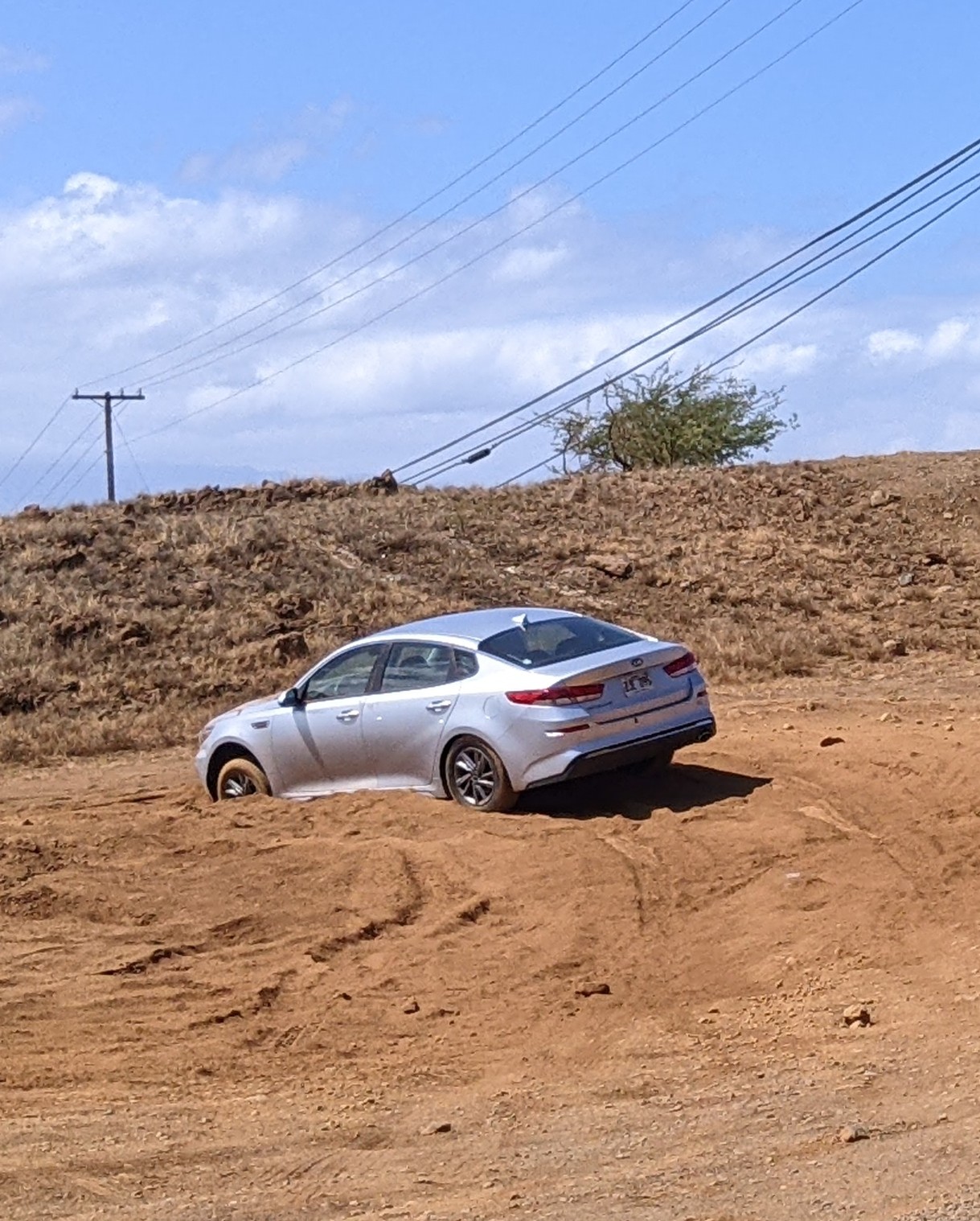
Also in the Puako area was Beach 69, a favorite for locals and so named because it was located by old telephone pole 69, now 71! Thank goodness we also didn't choose to go off-roading en route as this driver needed some assistance to get out of the deep sand.


Pu'ukohola Heiau National Historic Site was the name given to one of the last major sacred structures constructed in Hawaii before external influences permanently changed traditional life. The heiau or temple that was constructed during the rule of King Kamehameha I in 1790 played a critical role in the ruler's dominance.

Long before the king's time, deeply-rooted spiritual beliefs controlled the socio-political hierarchy in Hawaii. A small number of ali'i nui or high chiefs variously controlled different parts of an island, an entire island, or many islands. Their chiefdoms' size varied during power struggles that could last for many years. These struggles set the stage for the rise of King Kamehameha I and the construction of the enormous heiau.

A test of leadership in the royal bloodline involved the Naha Stone. Whoever could move or overturn the stone would possess the mana or spiritual power to rule the land. Though Kamehameha wasn't of the Naha bloodline, he challenged the Naha belief after getting support from a priestess who prophesied that if he were to overturn the stone he could unite all of Hawaii under one rule. By overturning the stone in front of a large crowd and other Naha chiefs, he fulfilled the prophecy.
However, Kamehameha I was still unable to lay full claim to his home island of Hawaii because of fierce opposition from his chief rival and cousin, Keoua Kuahu'ula, who was invading his territory. The kahuna or priest told Kamehameha that all the Hawaiian islands would be conquered if he built the heiau at Pu'ukohola and dedicated it to the war god. In addition, war wouldn't end on Hawaii unless a sacrifice was made. After the heiau was built, Kamehameha invited his rival to Pu'ukohola. Keoua knew if he accepted the invitation, that would mean his death so the heiau could be consecrated with his body's sacrifice. The strong belief in spirituality and fate led to the meeting between the two men. After Keoua was slain and sacrificed, Kamehameha became all-powerful and consolidated the islands.

As you can see, the heiau was a good distance from the site's visitors center but we were intrigued and didn't want to miss it. Imagine how this hill might have looked 200-plus years with hundreds of warriors lined up along its stone walls.

The view from the path toward the ocean:

Before we reached Pu'ukohola, we came across the remains of the older Mailekini Heiau that was converted into a fort and outfitted with light artillery in the early 1800s.

Work on Pu'ukohola Heiau began in 1790 with workers and Kamehameha himself setting tons of waterworn lava in place without any mortar. To please the war god, the heiau had to be ritually perfect so only Kamehameha's brother was excused so he could preside over the dedication rituals. Historians have ascertained that to build such a massive temple, thousands of workers formed a human chain to pass rocks by hand from thirty miles away in the Pololu Valley!

Pu'ukohola Heiau was built on top of another heiau that was originally constructed at the site. According to early written accounts, the tallest building on the platform was a wood-framed thatched tower structure that was enclosed by a wooden fence. Was this the recreated tower, I wondered?


Soon after the heiau was completed in 1791, Kamehameha ruled Hawaii, then Maui, Lanai, Molokai, and Oahu. Once the island of Kauai was added through peaceful negotiations in 1810, Kamehameha the Great ruled all of the islands.

As the heiau still holds much significance to many native Hawaiians, it was closed to the general public to respect their traditions. Only those exercising traditional religious practices were permitted to enter the temple.

The view from the temple to the ocean was just sublime and a perfect way to continue our journey that day.

From the temple, we made our way further north along the Kohala Coast on the Akoni Pule Highway where the beaches gave way to hilly cattle country and then noticeably greener. It was amazing what a geographical microcosm this relatively small area of the Big Island was as we rounded the top of the peninsula!

The winds were so fierce screaming out of the Pacific that many of the trees looked as if they had grown sideways!

A little slice of picturesque North Kohala was the small town of Hawi which was all of two blocks long! Once a major plantation town for the Kohala Sugar Company, Hawi has become a bohemian hot spot with chi chi coffee bars and fun shops. I almost laughed when I entered Hawi Fine Arts hoping to pick up something local and different, only to find the same colorful items I'd bought for our granddaughters from a store in Colombo, Sri Lanka, back in March of 2020!


If that wasn't enough, I also noticed the shop sold the signature Maruca handbags that I have and which are made in Boulder, Colorado not far from us. On top of that, the same store in tiny, tiny Hawi also had some colorful telephone wire baskets that were identical to those I'd picked up years ago in South Africa. It pretty well freaked me out seeing merchandise that I knew exactly where it came from such disparate parts of the world. I ended up buying a wildly expensive note card as a memory as it at least was local.


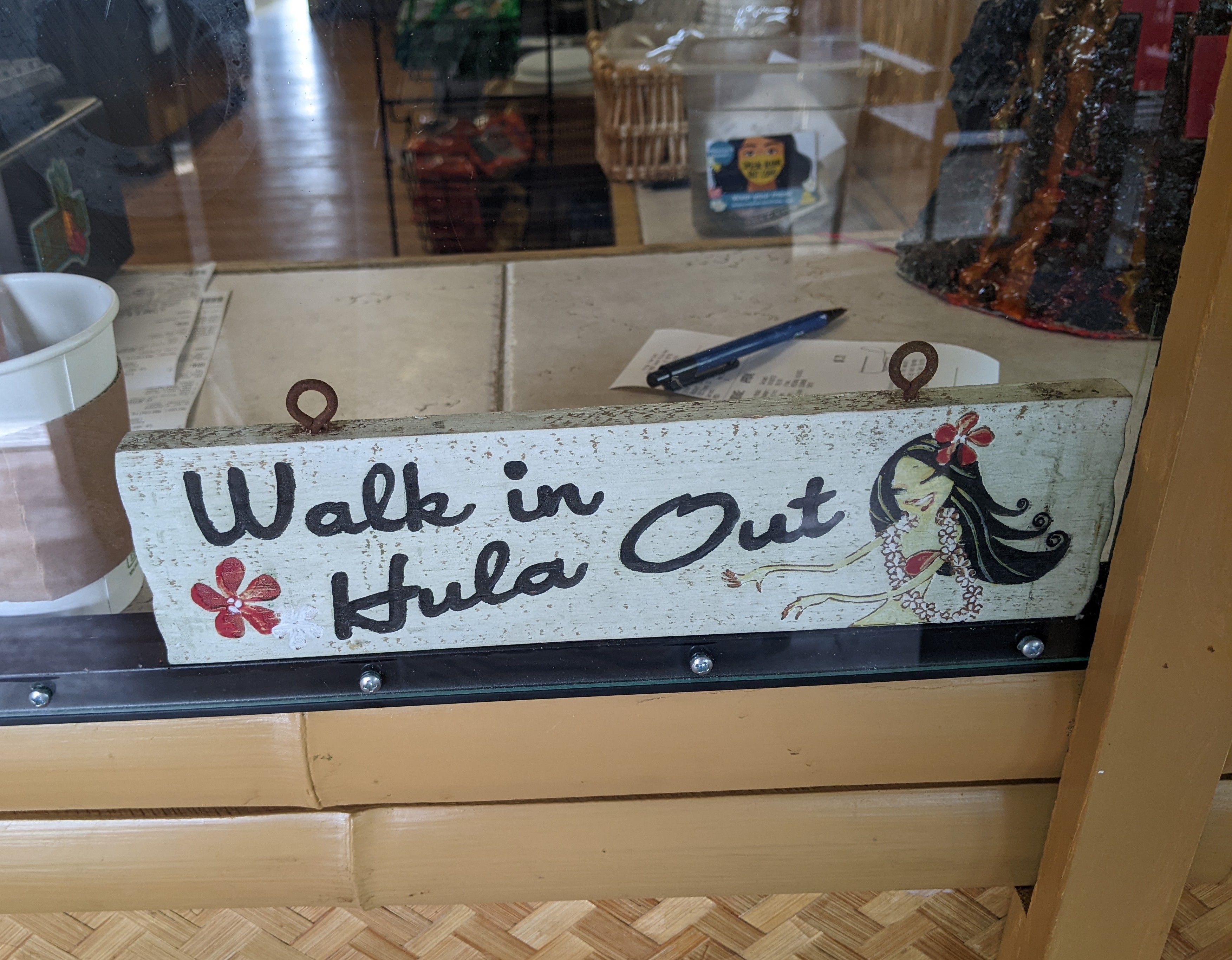
I loved this sign in Hawi's ice cream shop!
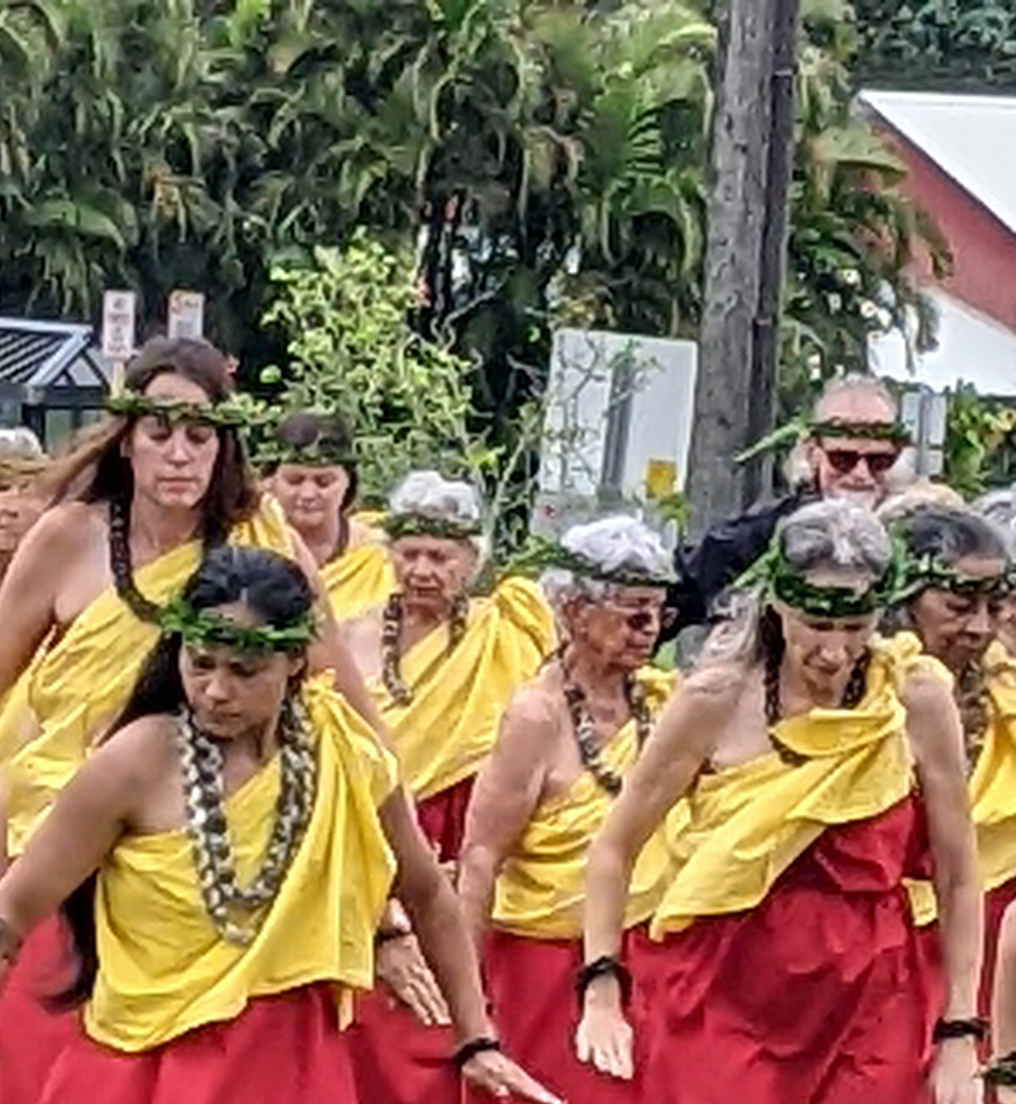
Just down the street was a huge statue honoring Kamehameha I as Hawi was his birthplace. The original statue was dated from 1880. Kamehameha was thought to have been born in 1753 and he died in 1819. We were extraordinarily lucky to find a group of dancers performing by the statue and watched them with delight.
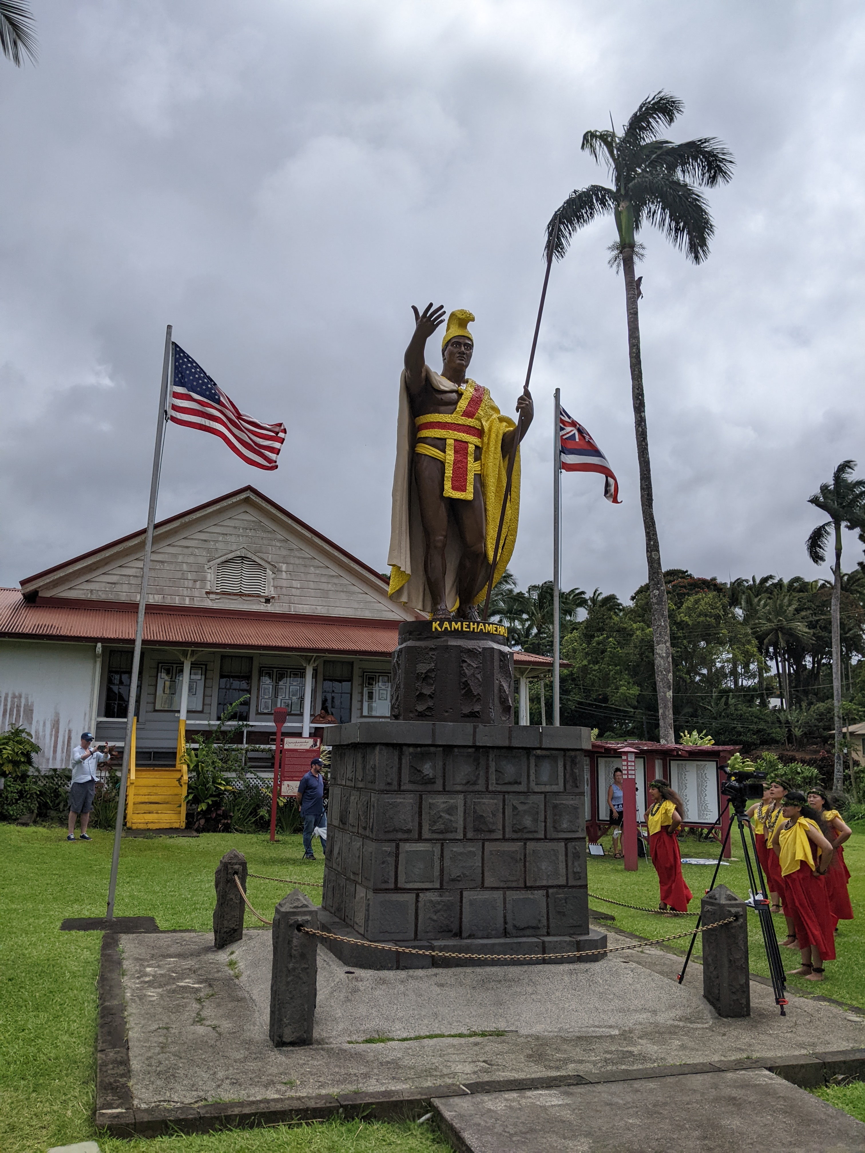


I don't know if we'd ever come across a group of dancers that cut across borders of gender, race, and age and yet were perfectly in unison.

As we drove inland and then south on the Kohala Mountain Road from Hawi, it was like God had turned on a light switch as all of a sudden the land became incredibly lush beyond belief. Being from or at least living in the mountainous state of Colorado, it was a little tough to think of this as a 'mountain' even though most of the drive was at 2,000-3,000 feet elevation.

The open pastureland was simply gorgeous and took my breath away after the austere lava landscapes earlier in the day.


The open pastureland in time gave away to 'tunnels' of towering ironwood trees.


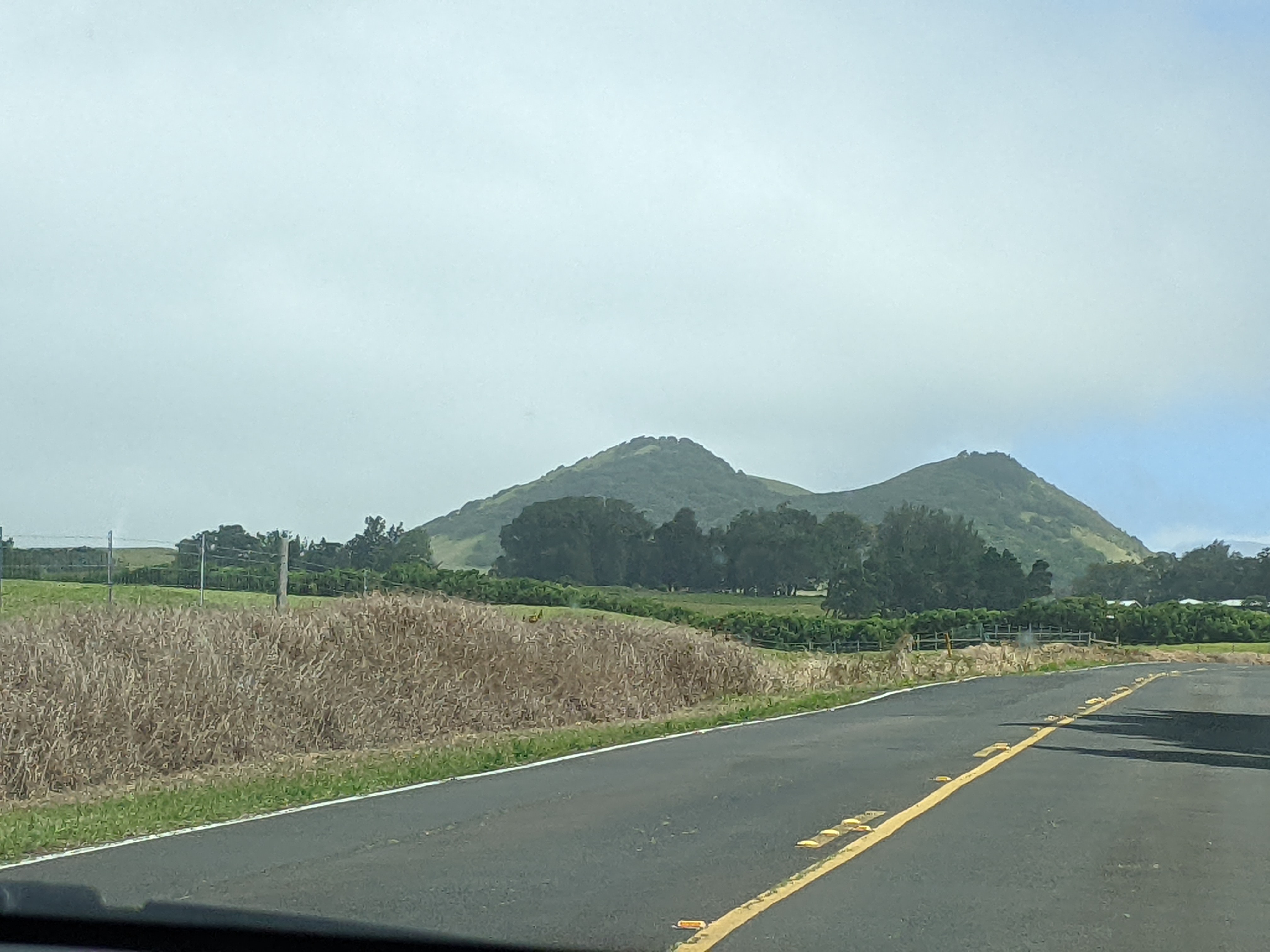
As we sped along, we passed an area known as The Pullback, with various ranch properties and glimpses of mountain peaks in the background.

On a road with such spectacular scenery, the views from the 3,500-foot high lookout over Waimea Valley were more notches to be added to the belt of the Kohala Mountain Road.


The town of Waimea aka Kamuela was paniolo or cowboy country with nearly all of it controlled by Parker Ranch, the fifth-largest cow and calf ranch in the entire country. The town's major attractions until the late 2000s were the Parker Ranch Museum and the 19th-century historic homes but they have since been closed permanently, unfortunately.


We arrived too late to see the Isaacs Art Center, galleries in a relocated 1915 schoolhouse.


Also not open but still of interest was Church Row, a living history of religious life on the island with several humble structures along a curved street. First up was the Kamuela Hongwanji Buddhist Temple.

I read that the Ke Ola Mau Loa Church was a much-photographed, historic Hawaiian church.

Last up on Church Row was Waimea's first Christian church, Imiola Congregational Church which was originally built as a grass hut in 1830. In its cemetery was the grave of missionary Lorenzo Lyons who arrived in Waimea in 1832 and remained there for 54 years.


Though the Parker Ranch Museum had been closed, we were still able to gain access to at least the outside of the Paniolo Heritage Center where Parker Ranch used to breed horses.


Spotting this Howdy! sign almost made us feel like we'd been miraculously transported back to the Wild West!

For some reason, there was a large Canada-France building in small Waimea. We only noticed it en route to the Waimea Nature Park, a 10-acre park where a native plant restoration project was taking place.


Surprise, surprise, this had been yet another long day for us with a visit to a petroglyph field, tide pools, a beach, a remarkable heiau, the island town of Hawi, and finally the mountain road to Waimea. It's easy for me to say as I didn't have to drive but I'm confident Steven wouldn't have wanted to have given any of it up either even though we still had a fairly lengthy drive back to our condo in Kailua-Kona.


Next post: Some serious beach time and another historical park on our last day in Hawaii.
Posted on June 5th, 2022, from Ingonish, Cape Breton Island, Nova Scotia, as we continue our fantastic, almost month-long tour of Atlantic Canada.
No comments:
Post a Comment