
As Steven and I left the southwest port town of Channel-Port Aux Basques for our first full day on the island of Newfoundland, it was neat seeing the first distance sign with St. John's, the provincial capital, almost 900 km away IF we were traveling in a straight shot. You may have gathered already we 'don't do' normally straight shots as here we were on a very extended detour to Florida via Newfoundland from Denver! As you'll see, we were planning to explore many of the province's nooks and crannies so 900 km would be a huge understatement.

A little north of the city were the Table North Mountains.


What a statement entrance to a home in Codroy Valley as we detoured toward the coast.

We stopped at the valley's Wetland Interpretation Center which had been designed to meet habitat needs for birds, butterflies, and other insects. Around the middle of the 19th century, Scots, Acadians, Irish, and English - many from Nova Scotia's Cape Breton Island - began settling in Codroy Valley to farm the rich red soils deposited on the banks of the Codroy River.

The Grand Codroy Estuary was one of the province's most productive and valuable wetlands and a hotspot for birds. It was designated in 1987 as a 'wetland of international significance.' With more than half of all the province's bird species spotted here, the estuary supported thousands of migrating waterfowl every spring and fall. Also provided was a habitat for the endangered piping plover and rare plants. If you're a birder, southwestern Newfoundland would be a dream place to visit.


The estuary was important because thousands of migrating waterfowl stop here to rest and feed before continuing their flight south. Many birds also breed in the estuary area during the summer.


As you may have guessed by now, reflections have long been a fave of mine. Here was an example along the Grand Codroy River.


As we headed to the westernmost place in Newfoundland, we passed the tiny communities of Millville and Codroy.


I was excited to see our hometown Colorado Avalanche flag standing tall and proud on a front lawn. I could only imagine they must have been as over the moon as we were when the hockey team went on to win the Stanley Cup, the biggest prize in hockey on June 26th!


Our destination for the last hour plus had been Cape Anguille, the island's westernmost spot and its lighthouse. The last few miles were only accessible via a very poor gravel road where we could only manage 5mph tops. At least we weren't the only crazy people driving that track!


The lighthouse keeper who was born out here had opened up a few simple rooms in a cottage next to the lighthouse. I wonder how many people would venture out there again after encountering that road!

We walked down to the rugged shoreline in a fierce wind. When trains operated nearby, a man was hired to warn of winds off Table Mountain as they could top 160kph and blow a train from the narrow tracks!


The lighthouse and environs were picture postcard pretty in every direction!

The Long Range Mountains were a series of mountains stretching along the west coast of Newfoundland.


Back on the two-lane Trans Canada Highway, we headed north toward Stephenville and wondered where the huge number of trucks that had been on the ferry had gone as the 'highway' was empty for miles at a time.

I don't think either Steven or I knew what to expect in terms of topography in southwestern Newfoundland but I know we were both surprised seeing mountains that reminded us of Montana and what we envisioned swaths of Alaska looking like.

On our approach to Barachois Pond Provincial Park, our second provincial park, we realized that each park sign had its own colorful and unique design, certainly far different than their staid counterparts in the US!

There was a fun trail through birch, spruce, and fir trees in the park which was the largest in western Newfoundland.

Even the park's picnic tables were a work of art!

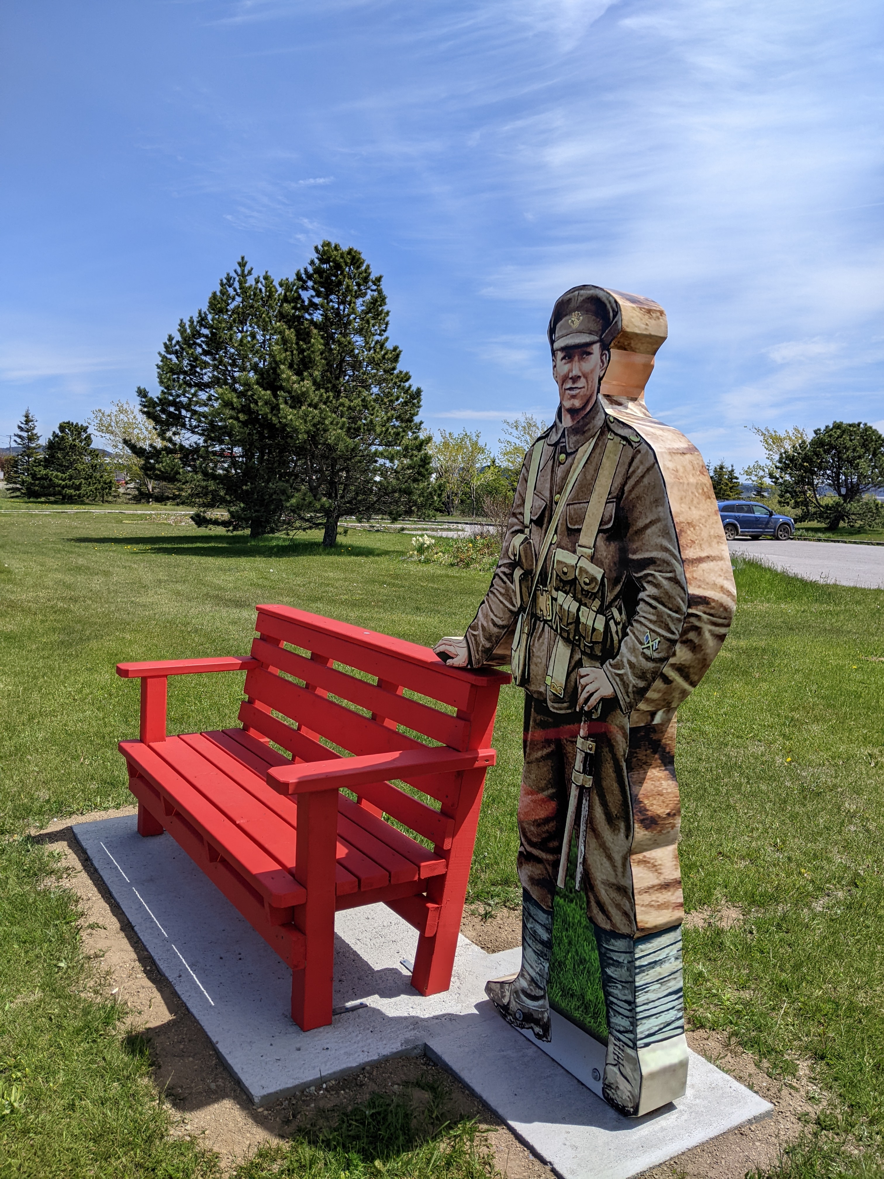
North of the park off the Trans Canada, was Stephenville with a population of just 6,600 people which made it the second largest community in the western part of the province. The area once known as the Acadian Village was founded in 1844 by two English families from Cape Breton wanting to take advantage of the excellent fishing grounds and farmland in western Newfoundland. Seeing an American fighter plane as we arrived in the town made sense once we realized the United States obtained rights to construct an air force base here in 1941. Stephenville’s past American influence was still very visible in the town with underground ammunition depots, large airstrips, aircraft hangars, and streets named after the American states.

Steven was a trooper driving past the former American checkpoint on one of the major streets several times until I got a decent shot - go Steven!

As it was my birthday that day, I got to choose we go for a walk at Ned's Meander just outside of town.
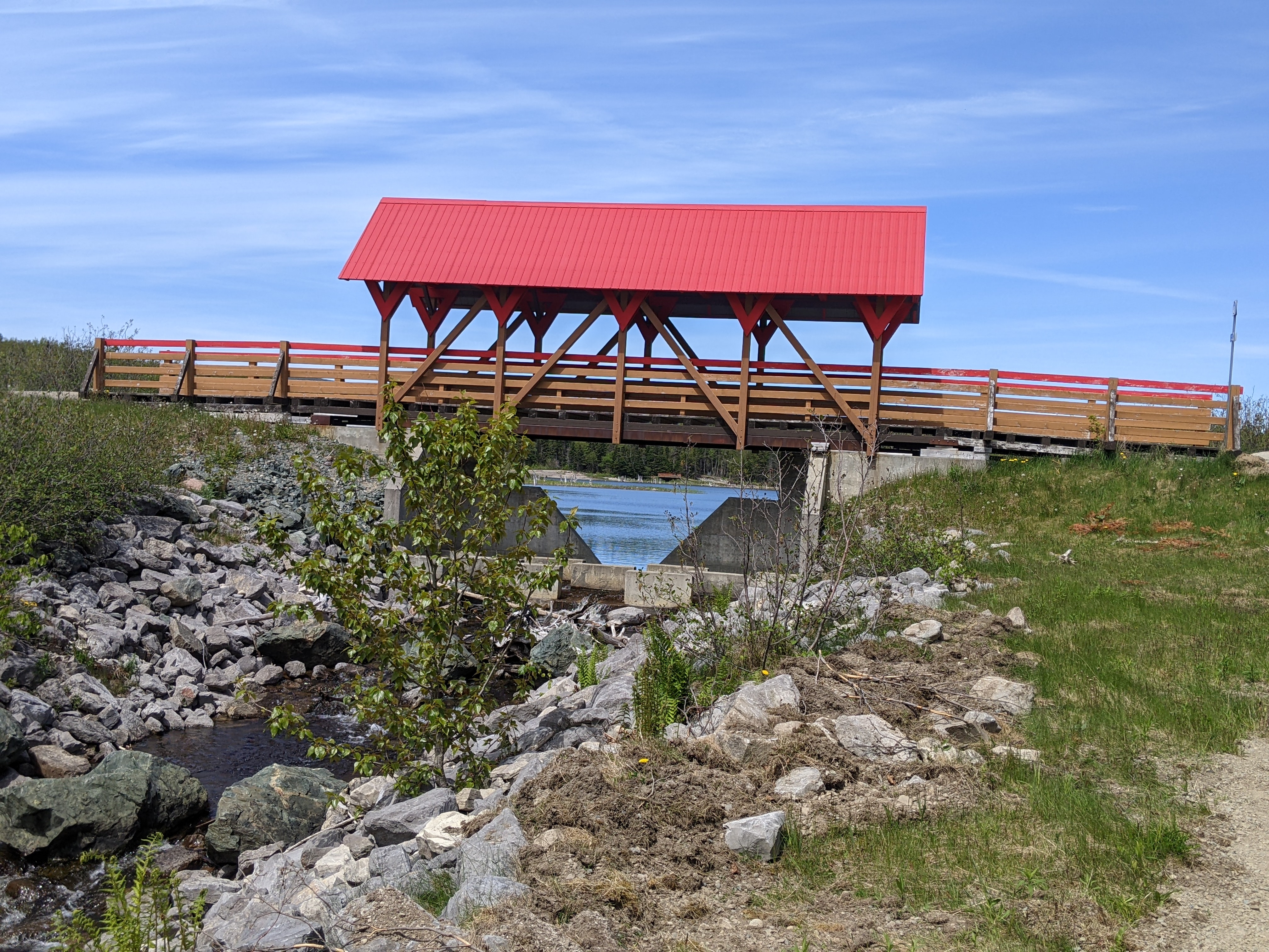

Steven and I joked that the trail around the pond was in better condition than many of the roads we'd encountered that day!


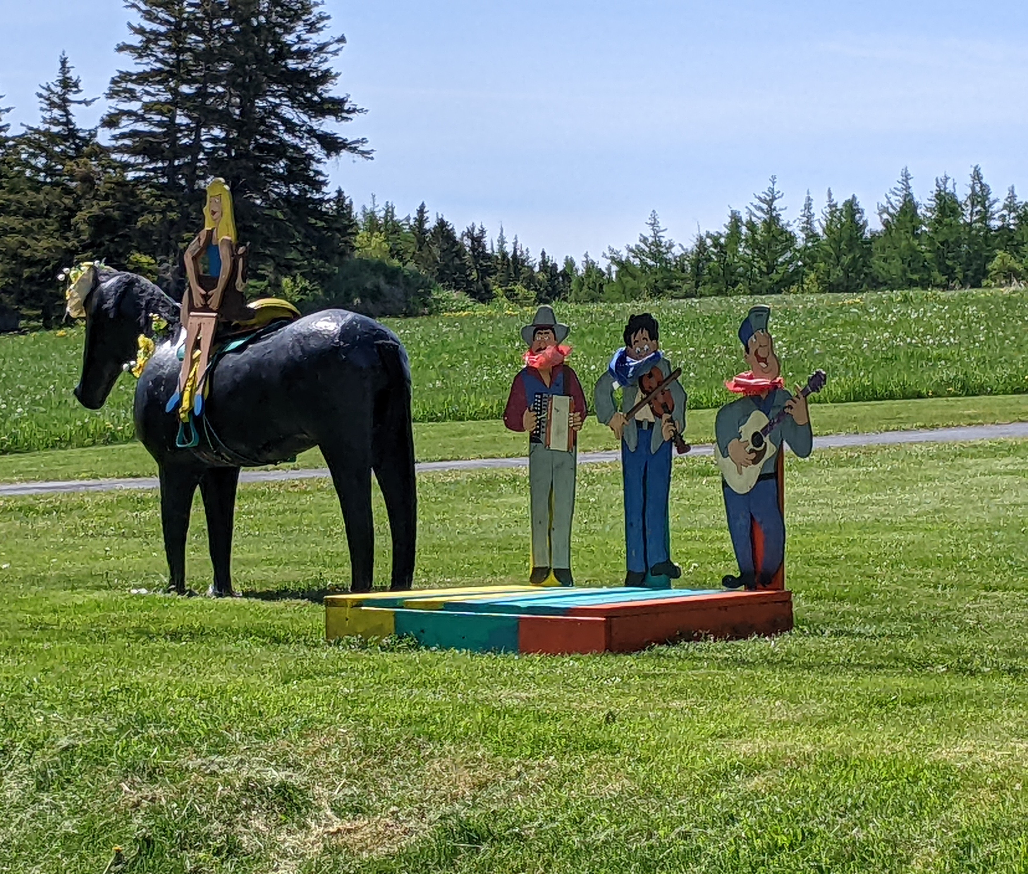
Rock Gallery was an imaginative way to decorate rocks while involving the Stephenville community.


A beaver dam possibly?

I wondered if these ultra small homes near the trail were part of the 'tiny home' movement.

Fifty miles north was Corner Brook, Newfoundland's second largest city and our destination for two nights. Located about 30 miles inland from the Gulf of St. Lawrence, the city of about 20,000 is cupped in a bowl sloping down to the water. We headed straight to Captain Cook's Monument overlooking the city to get some glorious views looking west toward the Bay of Islands.


Having spent several weeks in French Polynesia last fall where we came across stories of Captain Cook at each port of call, it felt like coming full circle seeing the monument here in relatively tiny Corner Brook. Cook arrived in Halifax, Canada, as British forces were embroiled in the Seven Years' War against the French. While observing an engineer using a plane table on the beach, Cook began his transformation into becoming a renowned cartographer and surveyor, studying under Samuel Holland, the army survey engineer.

When the British started up the St. Lawrence River in 1759 to capture the French stronghold at Quebec City, Cook and Holland were given the difficult task of chartering the river. After honing his surveying and cartography skills in Halifax for several years, Cook initially surveyed Newfoundland's capital city of St. John's after the British captured it from the French before spending from 1763-1767 further surveying the province.

Before Cook's surveys of the province, the few French ones were described as sketchy and the British were unreliable at best. The British needed accurate surveys to guarantee navigational access between Newfoundland and the mainland was secure. In addition, as fishing was the island's major resource, it needed to be kept regulated so the French didn't infringe on British fishing waters.

Cook was the first to establish the precision of the land survey process. His charts were so accurate they were still being used hundreds of years later. It was incredible to learn how similar Cook's charts were compared to those currently used even thanks to modern technology.

A colorful welcome to Stephenville:


Because it was my birthday, we'd splurged that night having made reservations at Marble Mountain Resort, a popular ski resort that lures people from throughout Atlantic Canada and as far away as Toronto to the 27 runs on the 1,706-ft-high mountain.


Next post: Touring the gorgeous Bay of Islands and Blow-Me-Down Provincial Park - now, who can resist that?!
Posted on August 28th, 2022, from Denver after returning home late yesterday from spending too short a time with our newborn grandson in San Francisco. Looking at the glass half-full, we're at least lucky SF is only a two-hour flight away.
No comments:
Post a Comment