
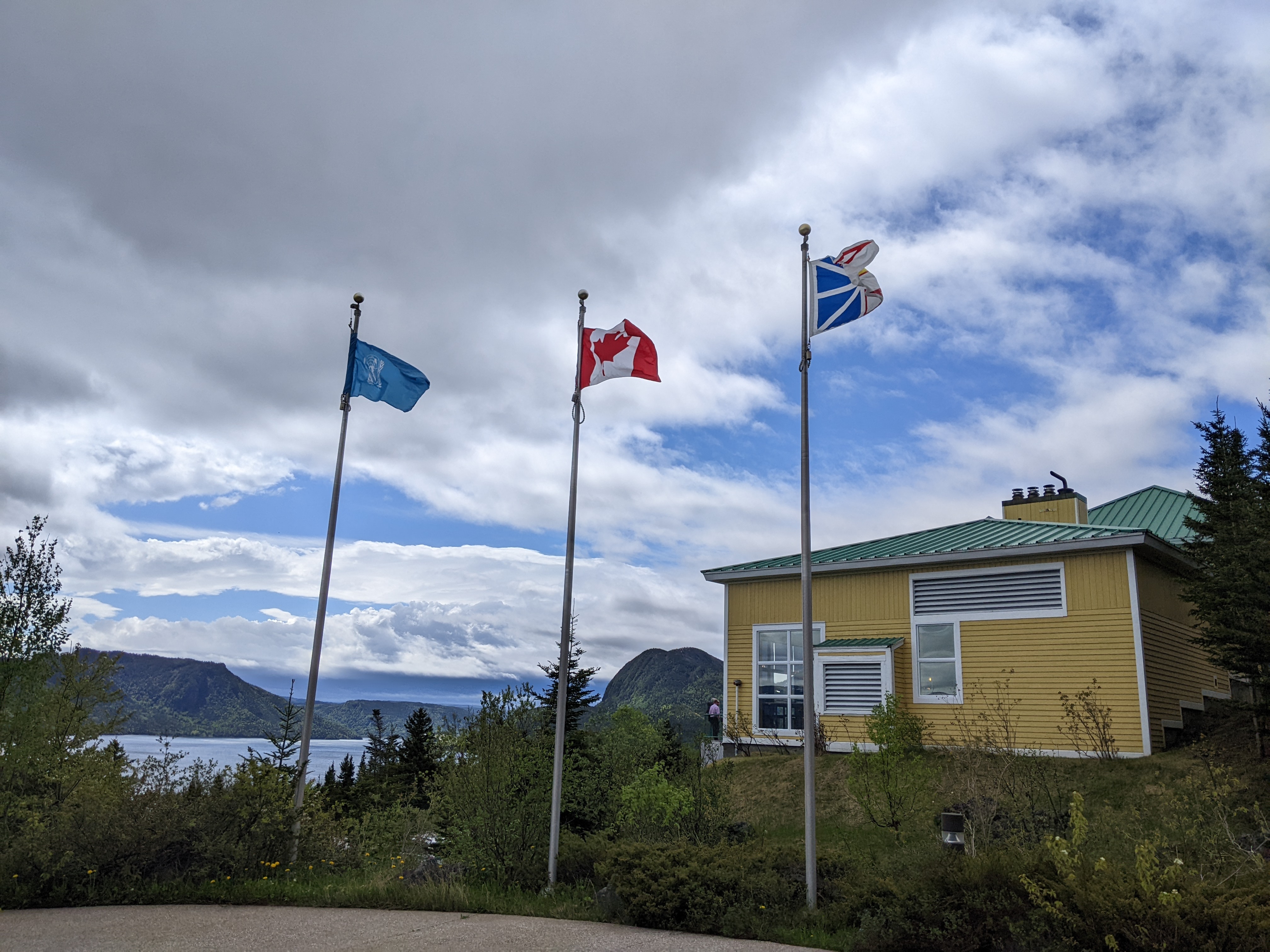
Outside the Marblewood Ski Resort where we stayed for two nights in Steady Brook near Corner Brook on Newfoundland's west coast was a mammoth heritage tree.


The idea for the tree started when the Canada Winter Games were awarded to Corner Brook in 1999. The cedar tree had to have made the longest distance possible in Canada as it traveled almost 4,000 miles from a pulp and paper mill in Canada's westernmost province of British Columbia to the easternmost province of Newfoundland. Two local artists were hired to draw and lay out on the log the 50 images that represented Newfoundland and Labrador, i.e. the full name of the province.

If you're into stats, you might like to know the tree weighed 9 tons, was 65 feet long, was 5 feet long, and would have provided enough lumber to build a 3-bedroom house!


As we headed further north toward Rocky Harbour, the winds whipped furiously on Deer Lake. I read that there is a sandy beach and shallow stretch of water swimmers enjoy in July and August but that was a long way off from when we were there!

I think that the town of Deer Lake's claim to fame was the moose sculpture outside the gas station!

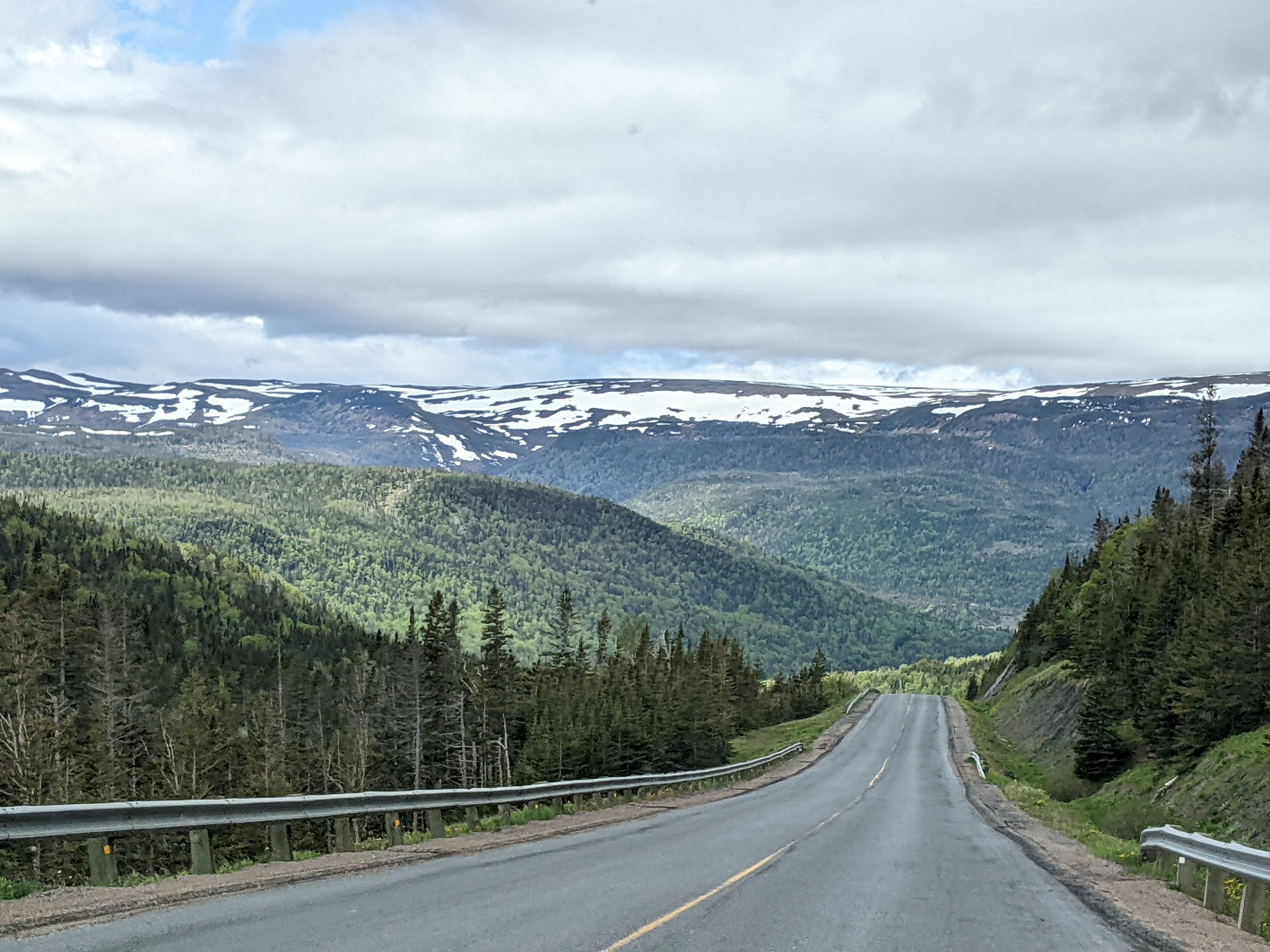
No way would we get very far very fast on the highway to Gros Morne National Park in the Northern Penisula as road conditions demanded drivers slow down to a crawl every couple of hundred meters when there was a large patch of gravel. The speed limit was 50kph, equivalent to about 30mph, but that was very optimistic.

The town of Deer Lake was the turnoff for people heading west and then north about 275 miles to the very tip of the island like we were, but that didn't include all the side trips we also planned on taking. For those heading to the provincial capital of St. John's, this was where drivers would head east about 400 miles. We'd be doing that, too, but not for another five days and after we'd retraced our steps all the way back to Deer Lake. No wonder, we ended up driving 2,500 miles in relatively tiny Newfoundland on our 'detour' to Florida!

Trout River:


Though the temperature indicated it was in the mid-60s, the dreary skies made it feel a lot colder when we reached Bonne Bay.

The charming village of Woody Point had a Registered Historic District.


The village was also home to the Visitor Center for Gros Morne National Park, a UNESCO World Heritage Site known for its geological wonders and awe-inspiring beauty.

As I wrote in the previous post, I learned that Newfoundlanders were extremely fond of rug hooking. Six women from Bonne Bay hooked this wall hanging in 1978 of the park's biophysical map. Each color represented a different biological or geological unit in the park.

It was mindboggling that each square inch of the stunning tapestry contained about 120 hooked loops, for a total of 900,000 for the entire piece!

As the ancient rocks in Gros Morne in western Newfoundland had so much in common with those forming in oceans today, the region was a proving ground for the theory of plate tectonics. Geologists first knew in the 1960s that the park's rocks came from a long-lost ocean that had been destroyed in a collision of continents. It was as if the layers of rock were like the pages of a book and contained stories of a dark ocean with strange sea creatures.
The fossil, found on the shores of Bonne Bay, showed trilobites living in the shallow tropical waters half a billion years ago.

Views from Tappers' Lookoff trail from behind the center.


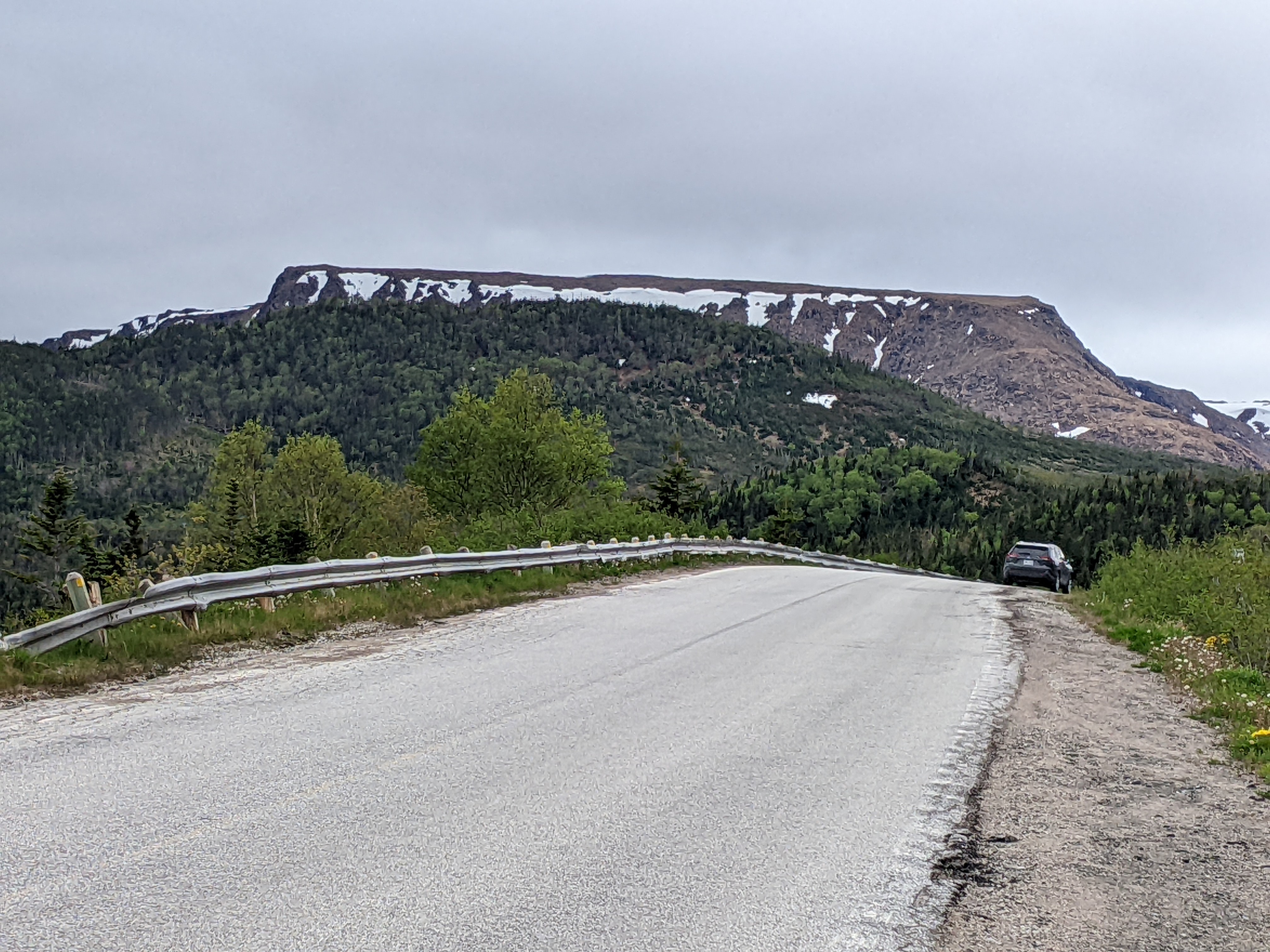
Sure couldn't argue with the name given to Tablelands!


As we walked along the Tablelands Trail we spotted some igneous rocks called peridotite that were poisonous to many plants. The rocks here formed in the Earth's upper mantle below an ancient ocean.

As the trail skirted the base of a mountain, it followed an old railroad bed that used to be the main road to Trout River and was built with imported gravel.

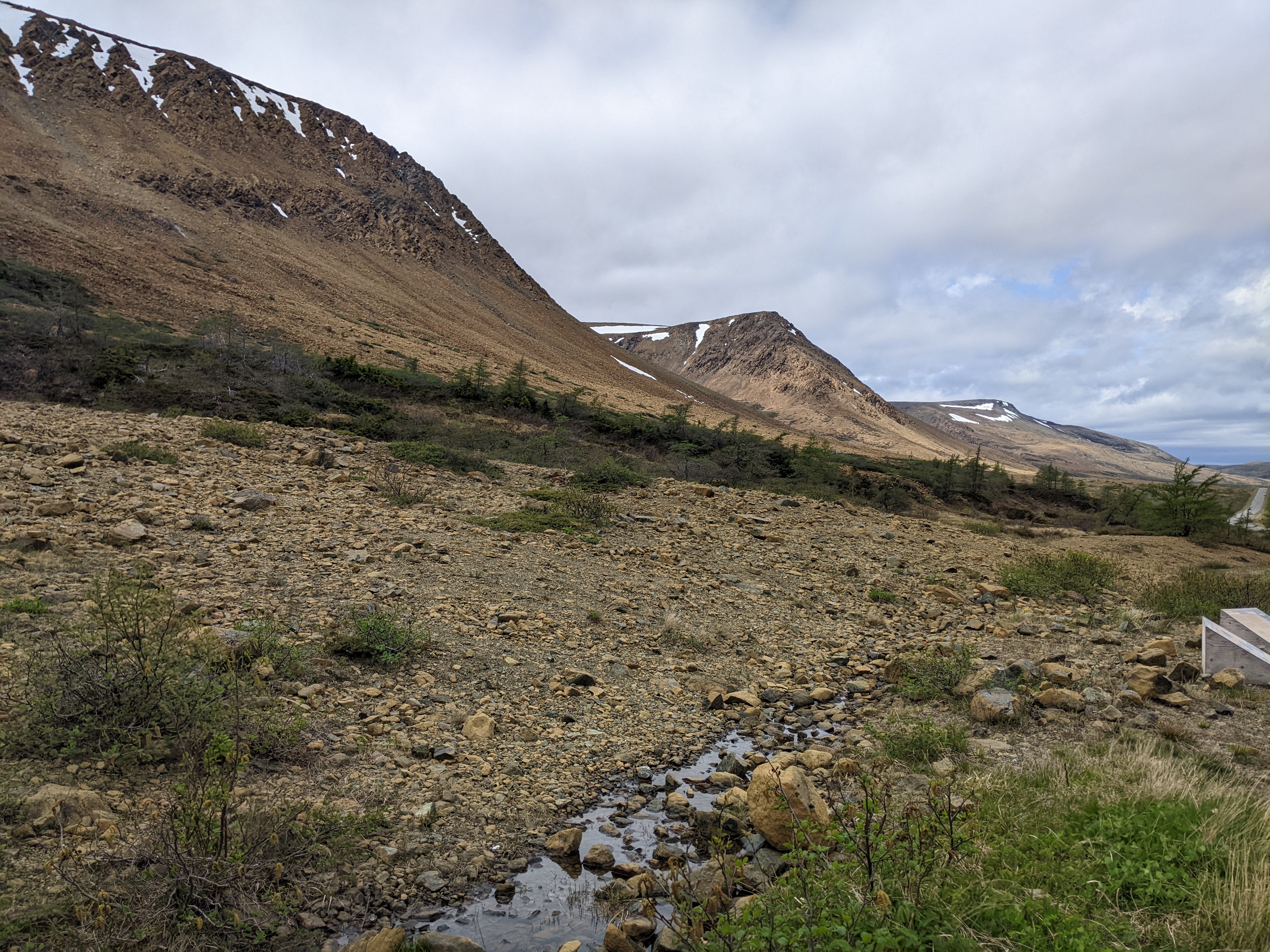
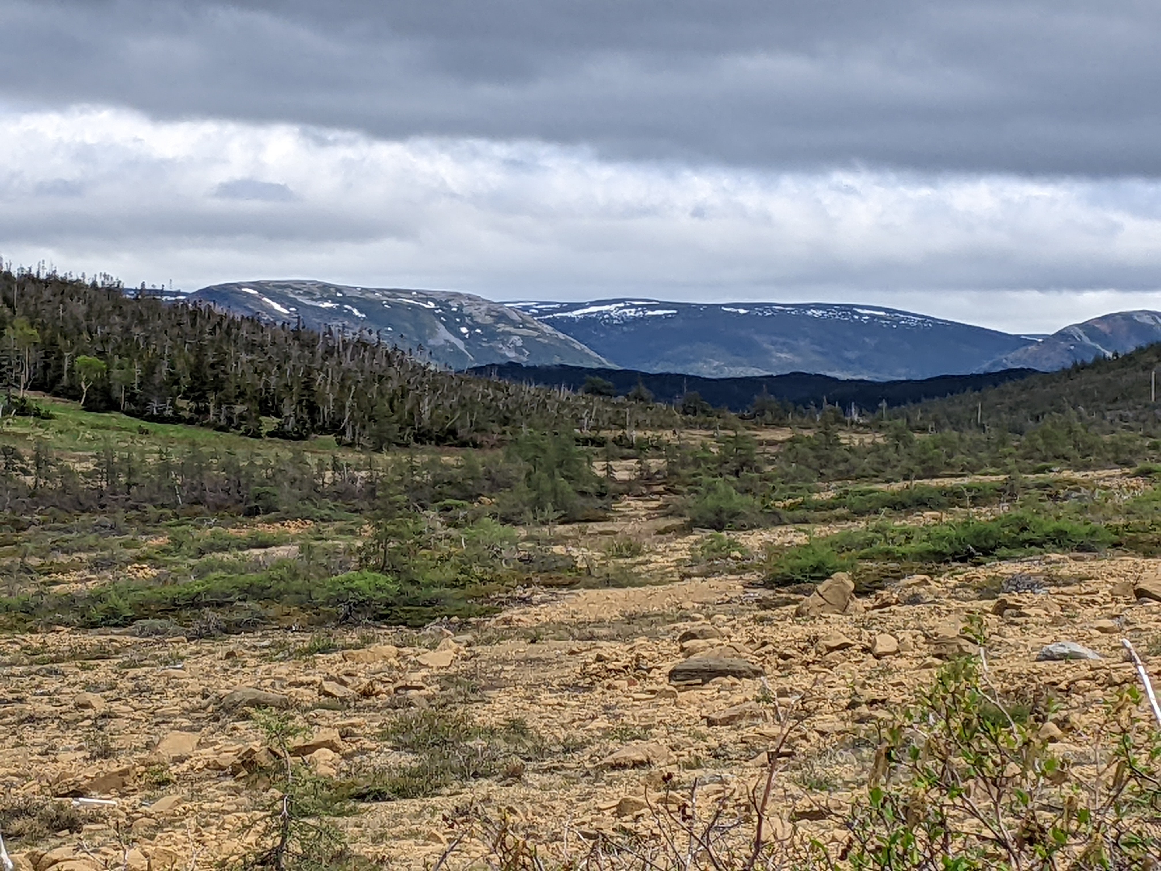
The soil in the Tablelands was described as among the worst on Earth because basically none had built up since the last major glaciation some 10,000 years ago. The soil contained toxic metals and almost no nutrients such as nitrogen, phosphorous, potassium, and scarce amounts of calcium. Winds strong enough to prune trees and ice crystals churning plant roots out of the soil made the soil even worse.

Serpentine rocks:


Serpentine sandwort could only grow in serpentine soils and could tolerate extremely high levels of metals. Isn't Mother Nature impressive?


Repeated glaciations 2.6 million years ago shaped this landscape, erasing all plants, animals, and soil that had previously existed and deepened the Tablelands' valleys.


Near the end of the trail, we came to the lovely travertine springs. These rare, tan-colored, travertine rocks in the alkaline stream bank were the youngest in the park.


The trail ended in the glacially carved, and spectacular, Winter House Brook Canyon.

Though very windy at the falls, the temperature had increased we almost got hot - surprise, surprise!


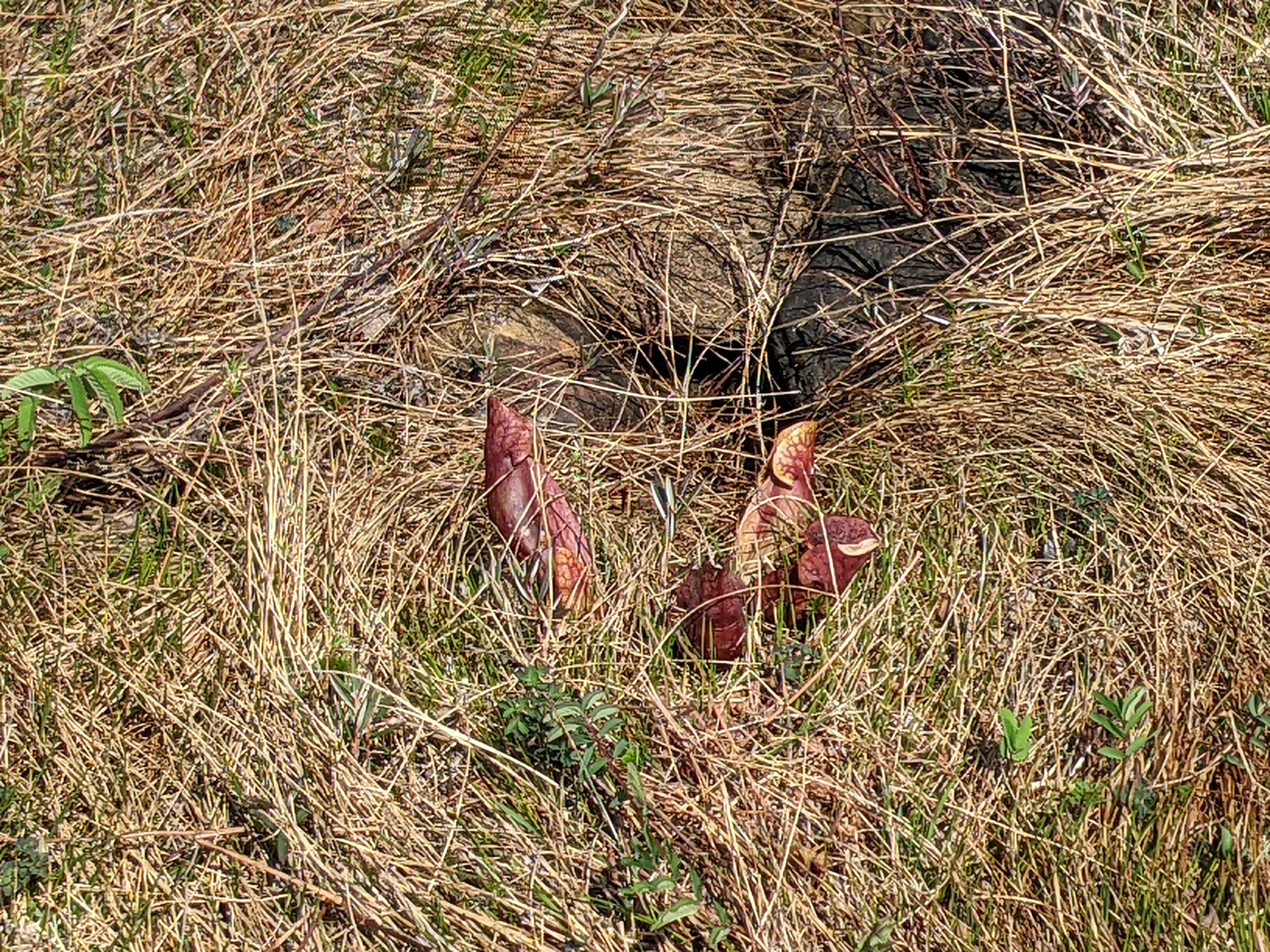
As barren as the land was, it still produced these pretty flowers.

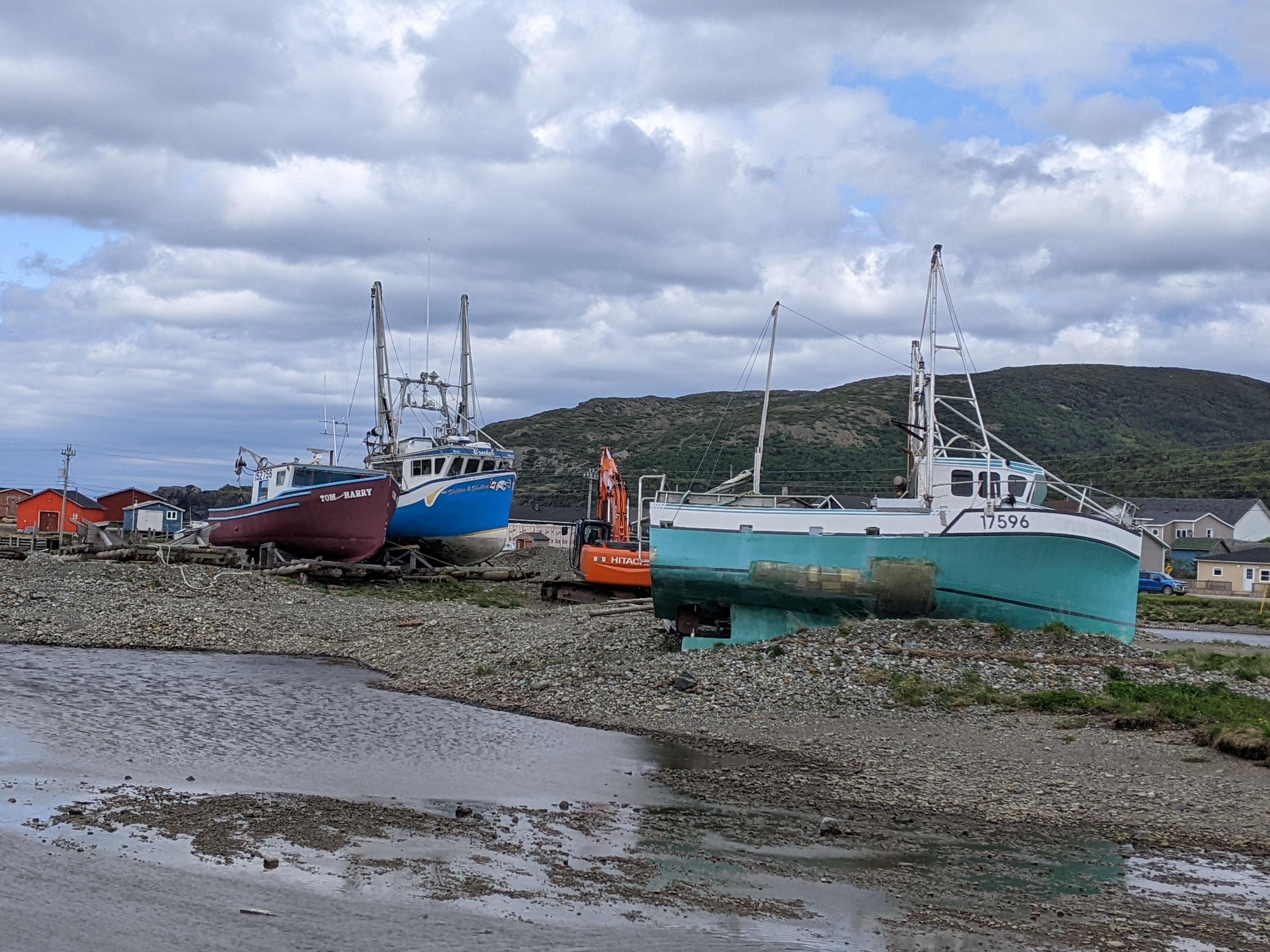
We then drove on to the outport community of Trout River.


The Jacob Crocker House was a traditional saltbox fisherman's house built in 1898 by a direct descendant of the first settler of Trout River.

If you ever wondered what the island of Newfoundland looked like, look no further as here was a map on the door! We were about halfway up on the 'finger.'


Remember the lighthouse for later!

The community's boardwalk:

Even though this was early into our tour of Newfoundland, we had already grown to love the Crayola-colored homes in so many communities.


At one end of the village was Old Man Trail with a heart-pumping hike to a wide open meadow and panoramic views of Trout River below.


Huge piles of cut and stacked lumber were a common sight in this part of the province.


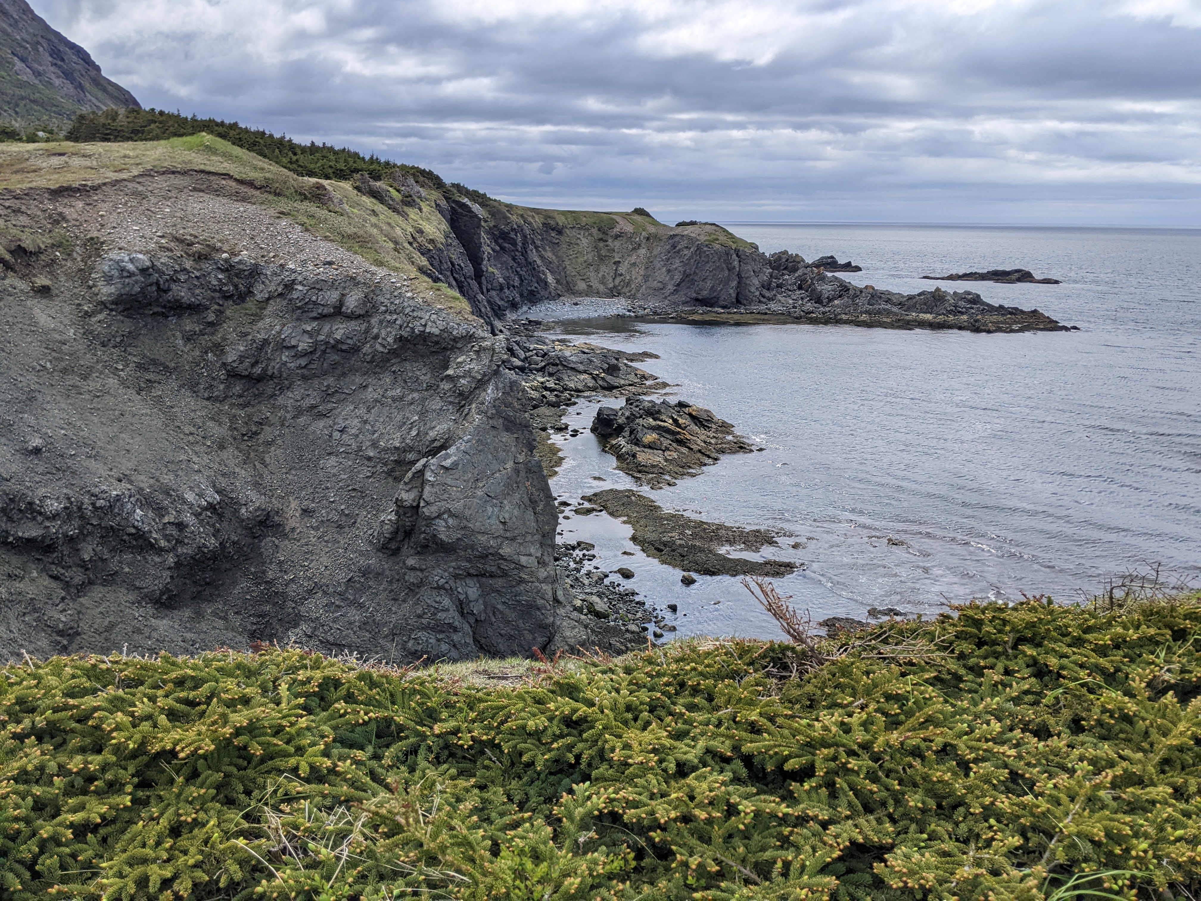
A path from the open plateau through the brush led to views of the shore and the lighthouse we'd noticed earlier. This was all part of the Lighthouse Trail although we'd only planned to do the Old Man Stack Trail.


The lighthouse tower had been critical to the community for almost a hundred years, guiding local fishermen and visiting seafarers into the sheltered cove. The lighthouse was replaced by this square aluminum solar-powered tower in 1995. The trek there was still worthwhile even if it wasn't what we'd expected.


The town of Trout River in the background:

In 1767, renowned navigator, surveyor, and explorer James Cook charted this coastline as part of his 1768 chart of the West Coast of Newfoundland before leaving on his first voyage to the Pacific Ocean.
Once back through the brush I finally got sight of Old Man Stack, our intended sight all the way along but Steven stayed back in the meadow to rest. There was no way I was going to miss seeing Old Man Stack since we'd hiked all this way on the trail of the same name!


Old Man was an ancient sea stack located 130 feet above the Atlantic Ocean and was described as an old man watching over the community. The upright sea stack was comprised of ophiolitic rock from the ocean floor that had been forced to the surface by plate tectonics more than 450 million of years ago, but who was counting?!

As you may recall, I've commented frequently on the high winds here in Newfoundland. How lucky were we not to be affected by the winds as we backtracked to Woody River at the end of the highway and then drove toward Rocky Harbour, our destination that night?

I've run out of superlatives to describe the stupefying views. I'll leave it to you to ooh and ahh.


A 'real' lighthouse in the fishing village of Woody Point!


The town's Heritage Theater:

A view of the Tablelands again:

So, so true!

More of the bright colors associated with so many communities in Newfoundland!

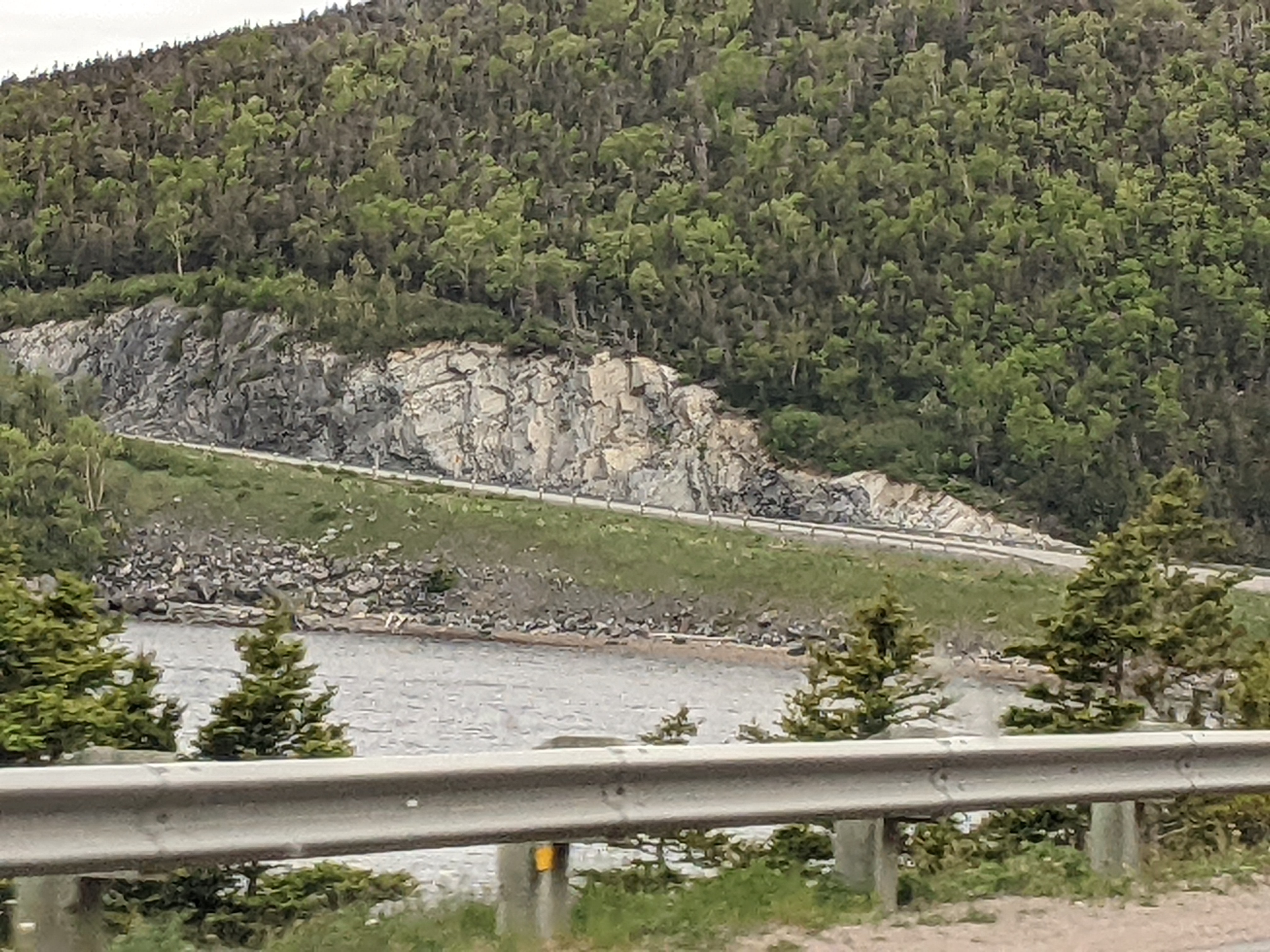
As we hugged the coast of the East Arm on one side, the other side was all sedimentary rock cliffs for mile upon mile upon mile.


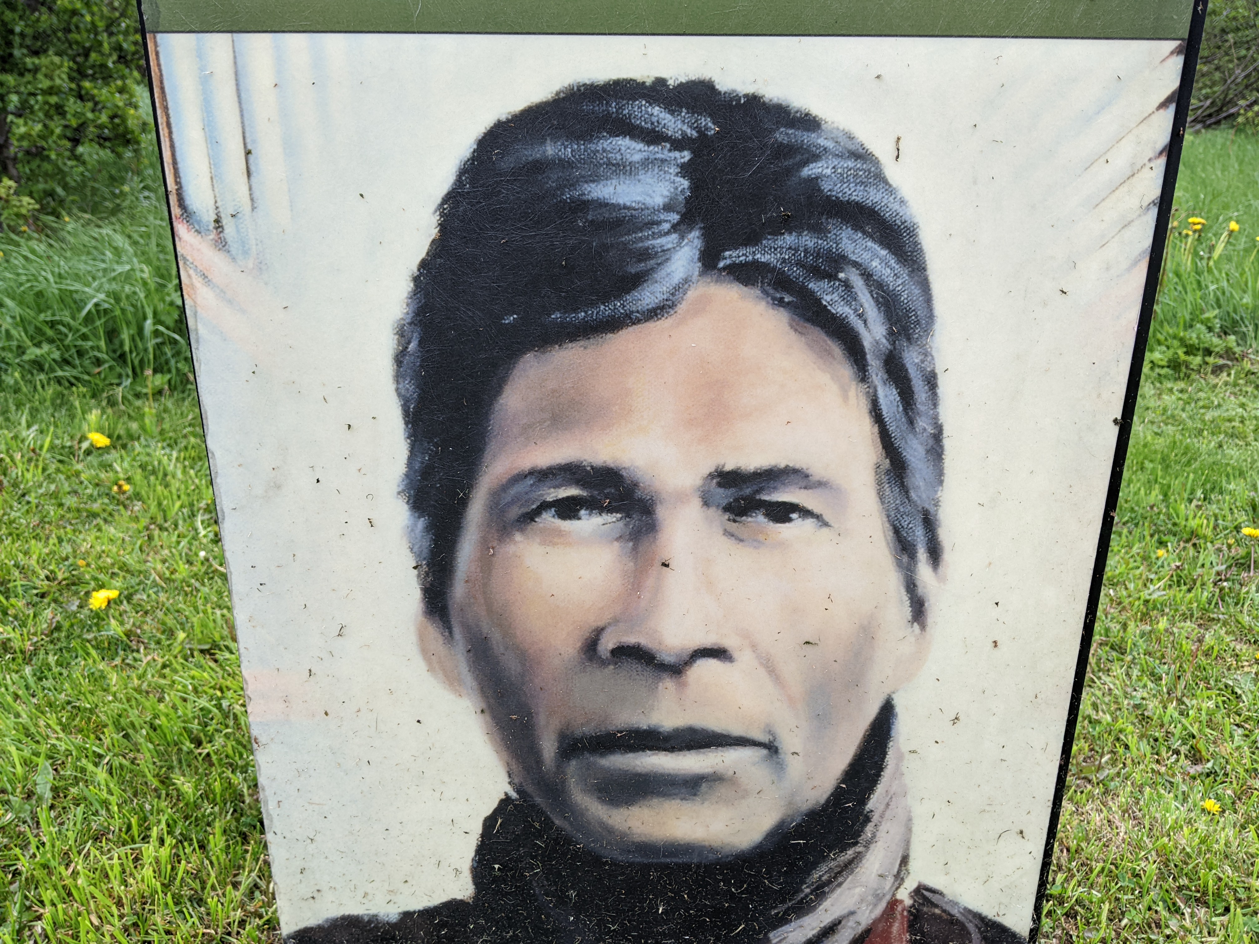
Though we were tired, Steven and I still chose to stop south of Rocky Harbour at the Mattie Mitchell National Historic Site at Deer Arm to learn how the Indigenous people shared their knowledge with settlers of European descent. Mitchell, born in 1846, was a hunter, trapper, prospector, and guide and a descendant of the hereditary Michel chieftain line. In 1885, Mitchell became known in Bonne Bay for guiding Royal Navy officers who were on leave from patrolling elsewhere.
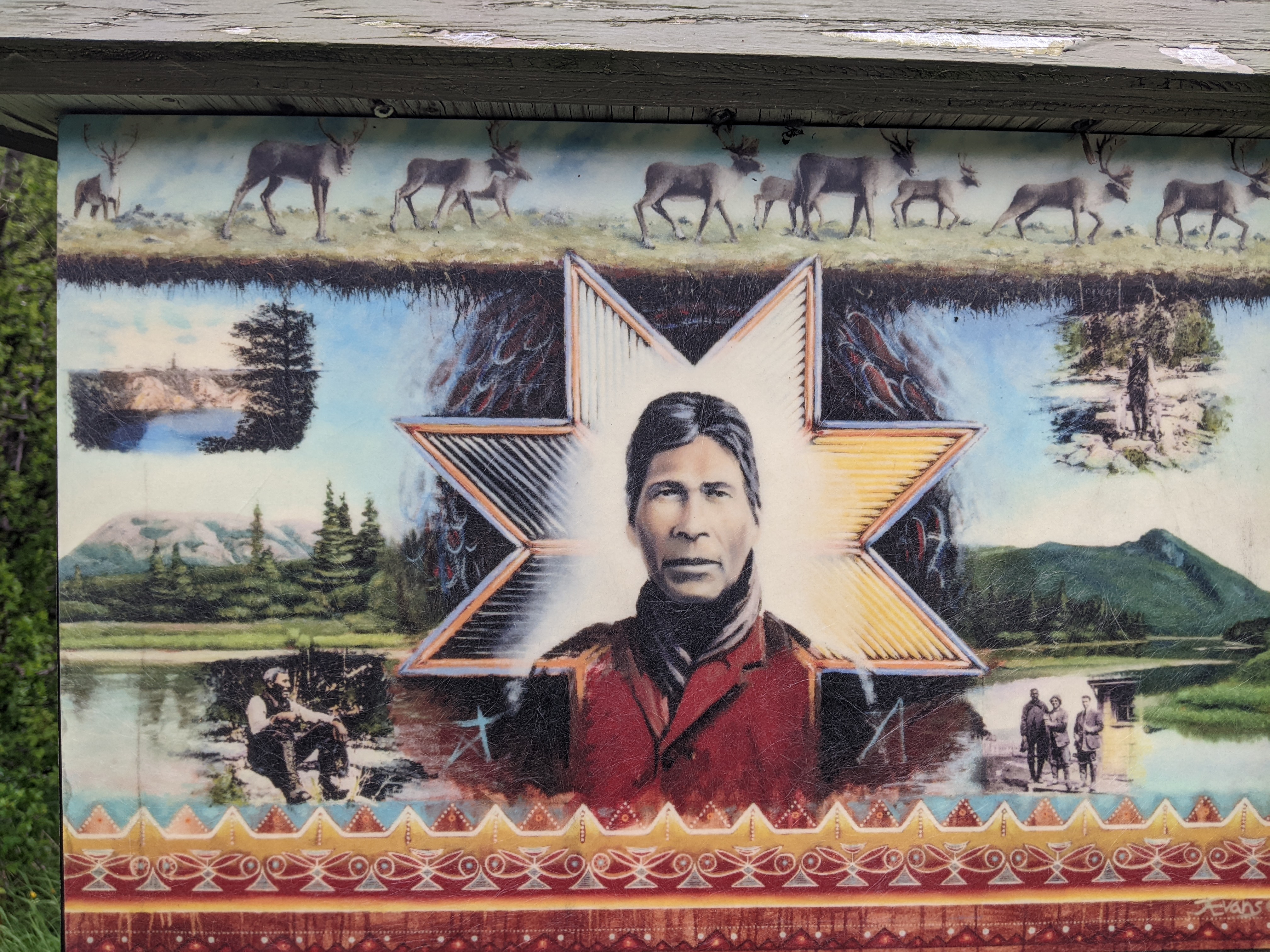
During winters, he had a camp or winter house at Deer Arm as it was his traditional route to the Long Range Mountains we'd seen the day after we landed. His descendants held property here until Gros Morne National Park was created.

Adventurer H.C. Thompson hired Mitchell to give him through the interior of the Northern Penisula in 1904. Their journey over the Long Range Mountains resulted in the peninsula's first map which was the basis for all maps of the regions until 1949. Mitchell was recognized by Thompson for the information on watersheds, edible plants, geological features, and wildlife that he provided.

Mitchell was hired the following year by the Anglo-Newfoundland Development Company to help prospect their concessions in central Newfoundland.


The trail led to Mitchell Brook in the middle of the forest.

As Mitchell and other Mi'kmaw guides were "easy masters of the interior of Newfoundland," they were critical to the success of inland expeditions and professional surveys. Surveyors, explorers, hunters, and explorers relied on Mi'kmaw guides for centuries because their knowledge of travel routes, weather, wildlife, and how to live on the country was the reason others were able to profit from the island's resources.

Mitchel in 1918:

When Newfoundland joined Canada in 1949, Indigenous people were not part of the union. While the largest Mi'kmaw community was finally recognized under Canada's Indian Act in 1984, nine other bands, represented by the Federation of Newfoundland Indians, are still awaiting recognition. What a sad indictment of a community that contributed so much to this island.


Our accommodations at the hostel in Rocky Harbour were perfectly sufficient as we had our own room and en suite but they certainly weren't as spiff as the Marblewood Resort suite we'd enjoyed for my birthday back in Steady Brook!


We didn't find a place to eat in Rocky Harbour so drove to the neighboring community of Norris Point. It was yet another OMG moment on approach!

The town's Anglican Cemetery in the setting sun:


The ferry station in town:


The nearby Neddy Harbour - are you getting a sense of how much we were loving Newfoundland?!

Next post: More hikes before one of Newfoundland's most exciting activities, a boat tour on Western Brook Pond.
Posted on September 3rd, 2022, from our home in Denver where I'll actually be staying put for three plus weeks before we leave for Central America on the 27th. It's great being 'home' again although 'home' has had a different connotation with as much travel as we've been doing the last 18 or so months!
Brilliant post ... the informative narratives, the stunning photos of Newfoundland's rugged and windswept landscape, the iconic crayola-coloured homes, the lighthouses .. loved it all. xo Lina xo
ReplyDeleteThanks, Lina, for so faithfully reading AND commenting on my blog posts - I really appreciate it. I hope my photos and text brought back many great memories of your own trip to Newfoundland.
ReplyDelete